Greene County, PA Harper's Ferry, WV Baltimore and St. Michaels, MD Williamsburg and Jamestown, VA Charlottesville, VA
Skyline Drive (Shenandoah National Park), VA Hartford, CT Old Sturbridge Village, MA
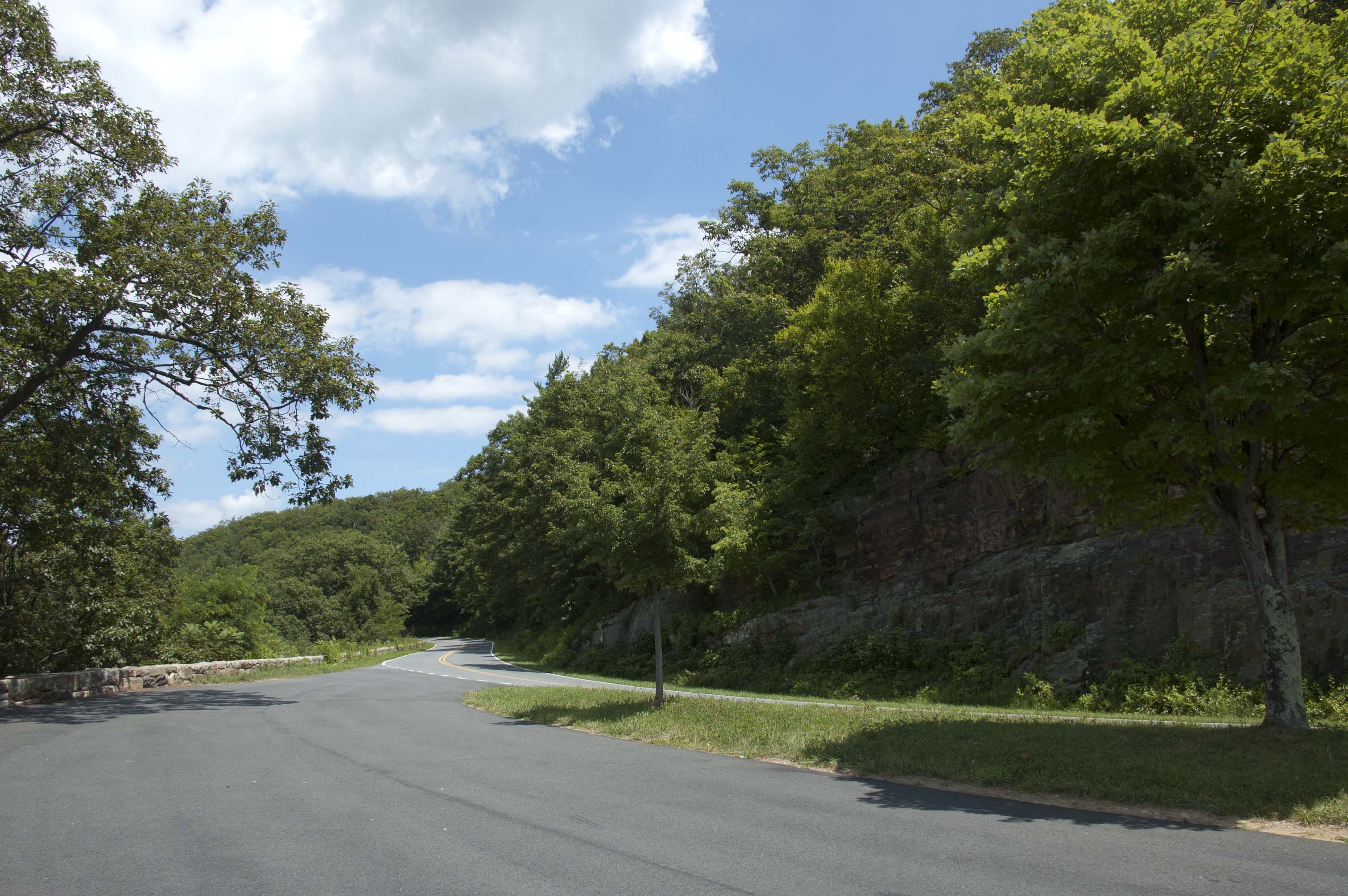
Skyline Drive and Shenandoah National Park are inextricably linked. The Drive is the only through road in the park, extending 105 miles along the Blue Ridge from Rockfish Gap to Front Royal, Virginia. The Appalachian Trail (remember that from Harpers Ferry?) parallels the Drive through the park and covers the distance in 101 miles.
We drove down the mountain from Monticello and headed west on Interstate 64 to Rockfish Gap, only about 23 miles or minutes. There, the traveller makes a choice (if not continuing west on the Interstate) -- turn south and you start the Blue Ridge Parkway, 469 miles long and ending in the Great Smoky Mountains National Park in North Carolina; turn north and you are starting the Skyline Drive in Shenandoah National Park. Rockfish Gap represented our turn onto the homestretch. From now on, we'll be trending northeastward. 50 years ago, John with his parents drove Skyline Drive in the opposite direction en route to Monticello. Needless to say, the road and the scenery haven't changed much in the intervening years.
The speed limit is 35 miles per hour (60 kph) and enforced. Our car found driving the Drive somewhat taxing as the speed limit coincided on upslopes with a shift point in the automatic transmission and the transmission "hunted" for the right gear quite a bit. On the downslopes, the brakes get used to hold the speed down. A manual transmission or semi-automatic one would be more at home we suspect. This isn't a reason to avoid this drive. Our car is 11 years old and yours might well have different shift points.
The nominal drive time is three hours, if you aren't going camping or hiking and not including food, rest, and photographic stops at overlooks, which occur every mile or two.

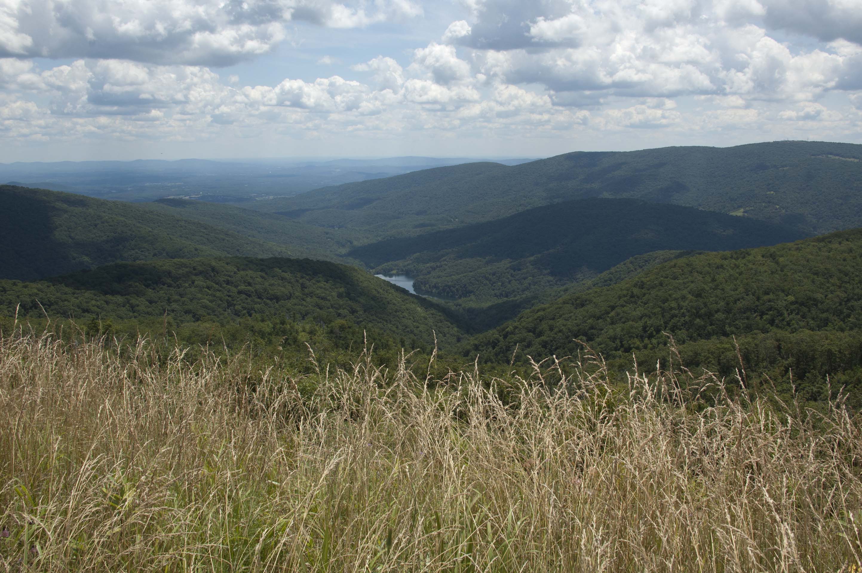
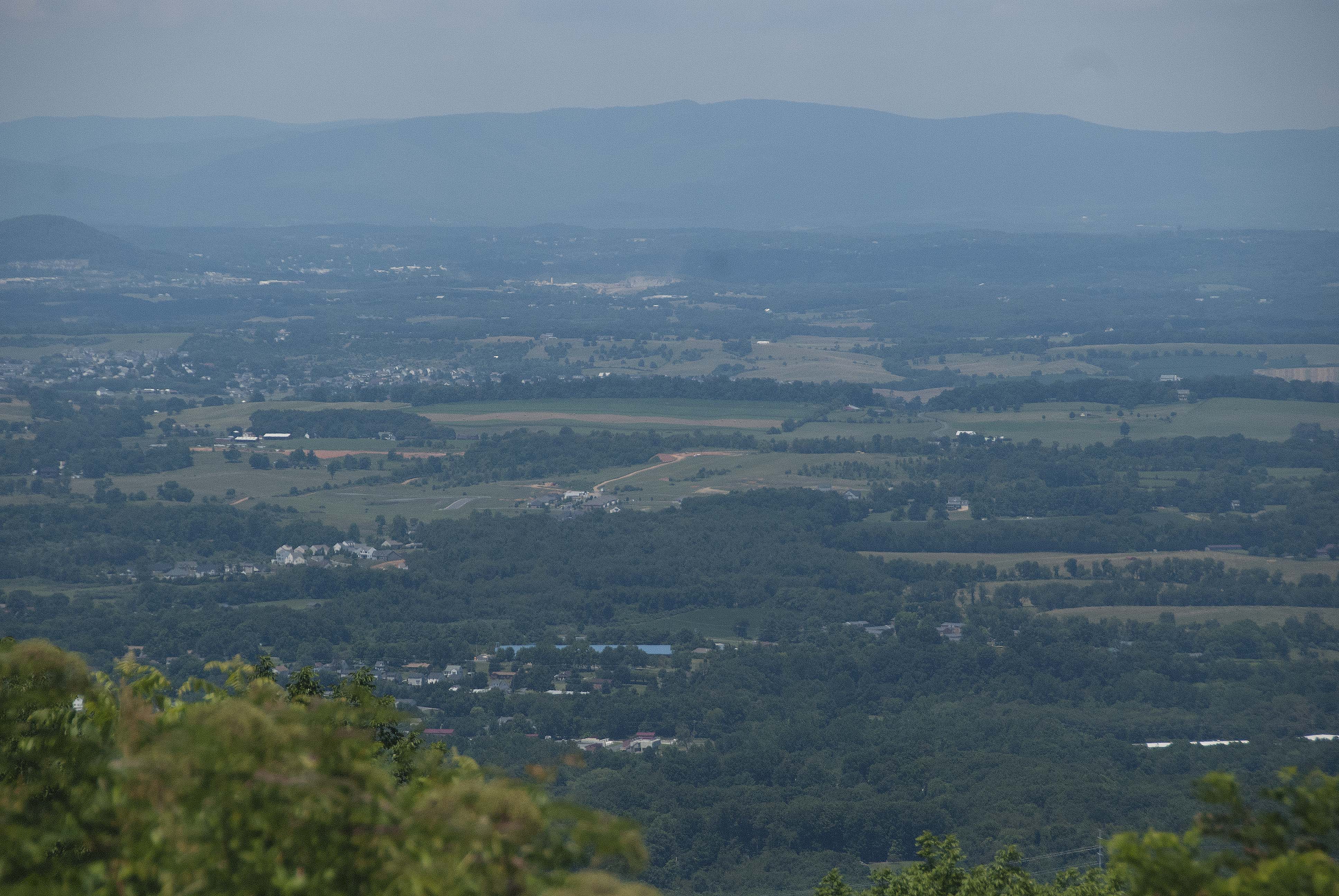
So what is this all about? You drive along the Blue Ridge in Northern Virginia, climbing up peaks and descending into gaps, which were of course the ways west through the Blue Ridge. To the East is the Virginia Piedmont, rolling landscape descending into the coastal plain of Tidewater Virginia. To the West is the Shenandoah Valley a broad flat valley with the Shenandoah River (which joins the Potomac River in Harpers Ferry, if you remember). Beyond the Shenandoah are more ridges, the main mountain chains of the Appalachian Mountains. So you are looking down off a mountain into valleys. We drove the Skyline Drive on Thursday July 17th, a fine day until afternoon showers built up later in the afternoon.


Looking east, looking west

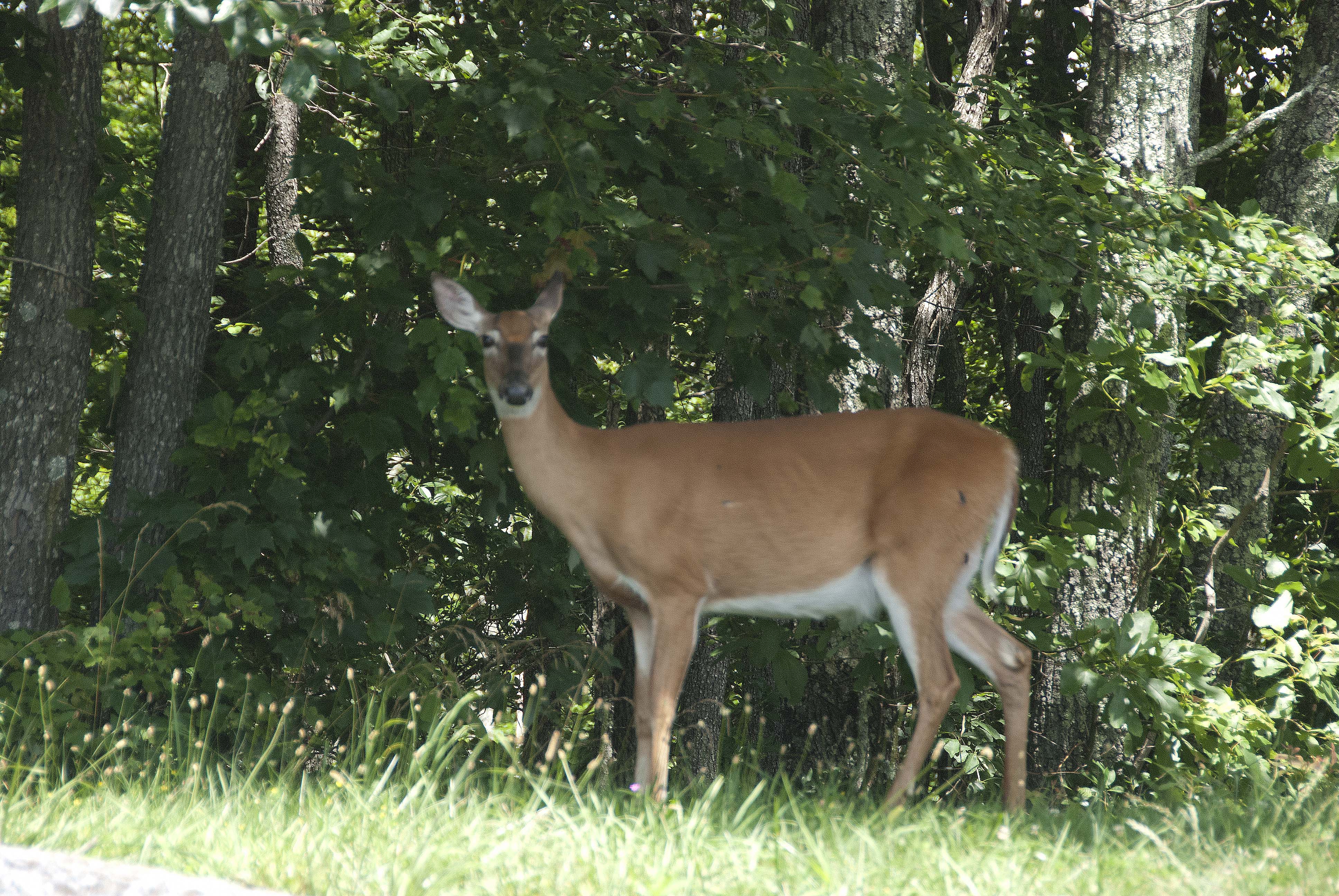
We're not sure why we both took photographs of this White-tailed Deer (and also two in Jamestown), Odocoileus virginianus. We have does and fawns pass through our yard and woods several times a year and don't take pictures of them. A six-point buck decided to take a rest in the middle of our lawn earlier in the year. They don't hang around much when the coyotes are around, though. We've seen one deer carcass consumed by a coyote/coywolf/feral dog in mid-winter a couple of years ago. Lucas's Wild Kingdom in the suburbs of Boston.
The following day we drove from Front Royal, Virginia to Hightstown, New Jersey (near where John's 92-year-old stepmother lives). In the early going, we passed near Gerrardstown, West Virginia -- the home of John Gerard/Gerrard/Garard, father of the four Garard brothers and mentor to John Corbly. Two other Corbly sites are nearby
We didn't stop and there aren't any memorials or stones to see.