Canada in 2013 page 3 -- Rocky Mountains (Kamloops/Banff/Lake Louise/Jasper) 14-19 June 2013
All pictures, unless otherwise noted, are copyright 2013 by John A. and Elizabeth B. Lucas. All rights reserved.
Introduction Vancouver/Victoria Kamloops/Banff/Lake Louise/Jasper Toronto/Niagara Falls Montreal Quebec/Baie St. Paul Halifax Wildlife Second Thoughts Technical Details
This will be the longest section because of the scenery as well
as the number of days. This is the second page of the trip
segment in the Canadian Rockies. The previous page is here.
18 June (Lake Louise to Jasper, AB)
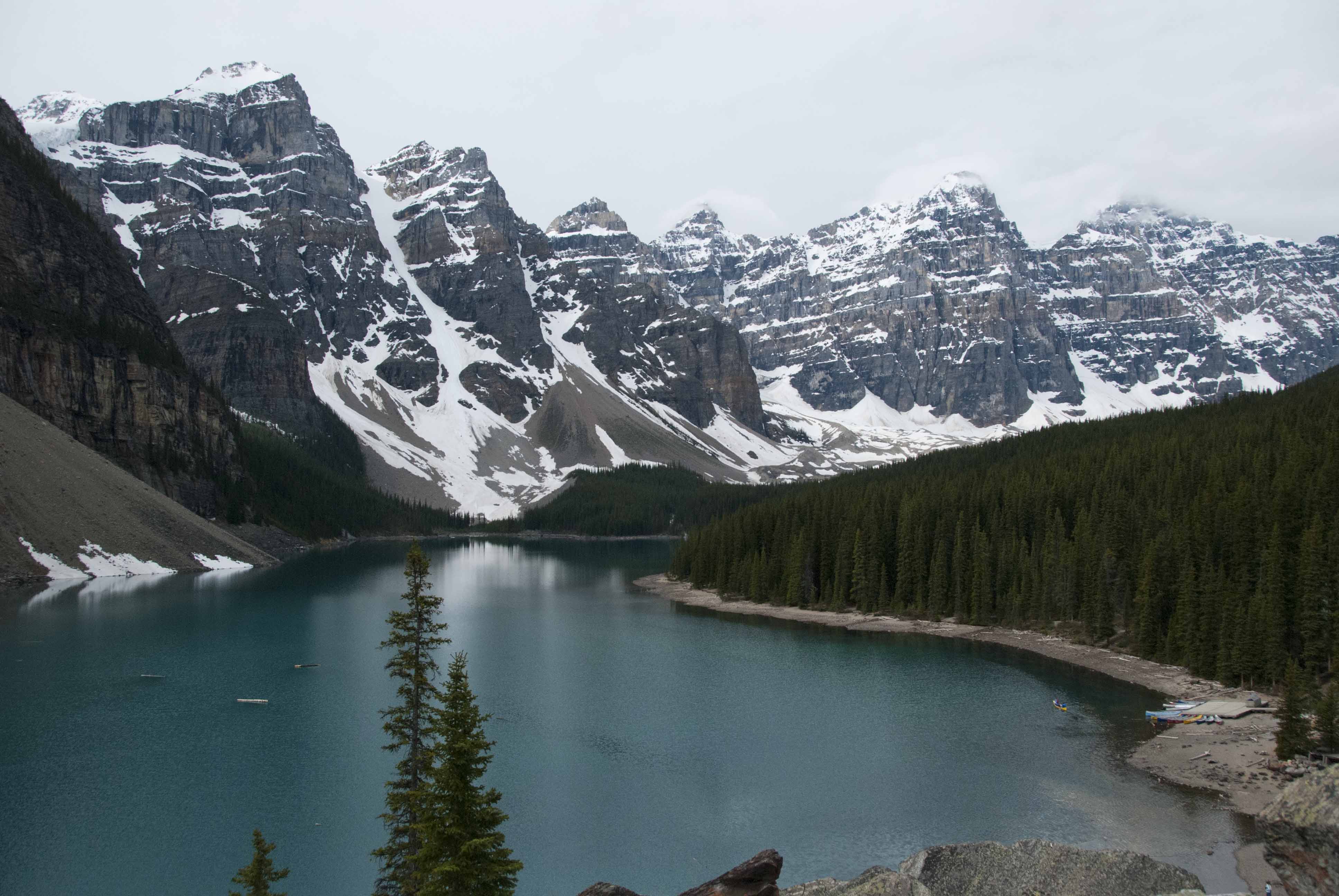
Lake Louise (surface elevation 5740 feet/1750m) is beautiful but there are other nearby lakes just as beautiful without being overcrowded and despoiled by a mammoth hotel. For example, the following is Moraine Lake (elevation 6181 feet/1884m) in the Valley of Ten Peaks (all over 10000 feet) and about 10 miles away from Lake Louise. No hotel, no crowds.
The opening picture of John and Beth (and copied here) was on the shores of Bow Lake (6300 feet/1920 m).

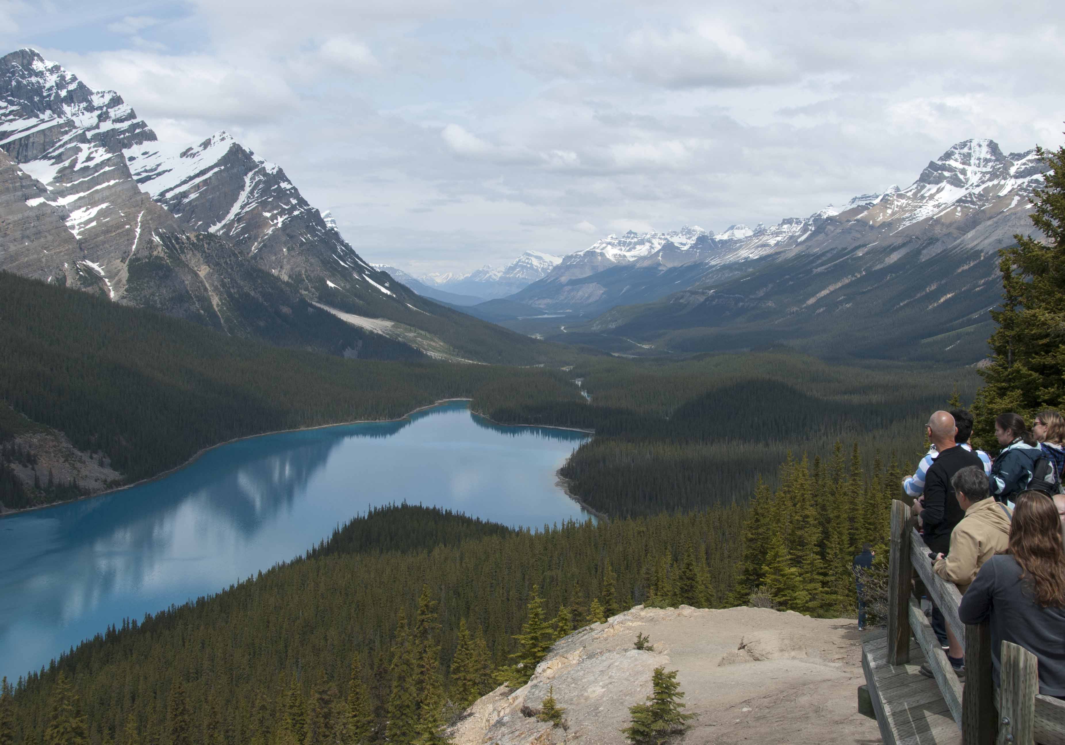
And finally and possibly most beautifully for the overhead view, Peyto Lake (6170 feet/1880m but the overlook is above 7000 feet). The Icefields Parkway can be seen continuing up the valley in the distance. Walking uphill back to the parking lot was a real huff-and-puff exercise for coastal dwellers like us.
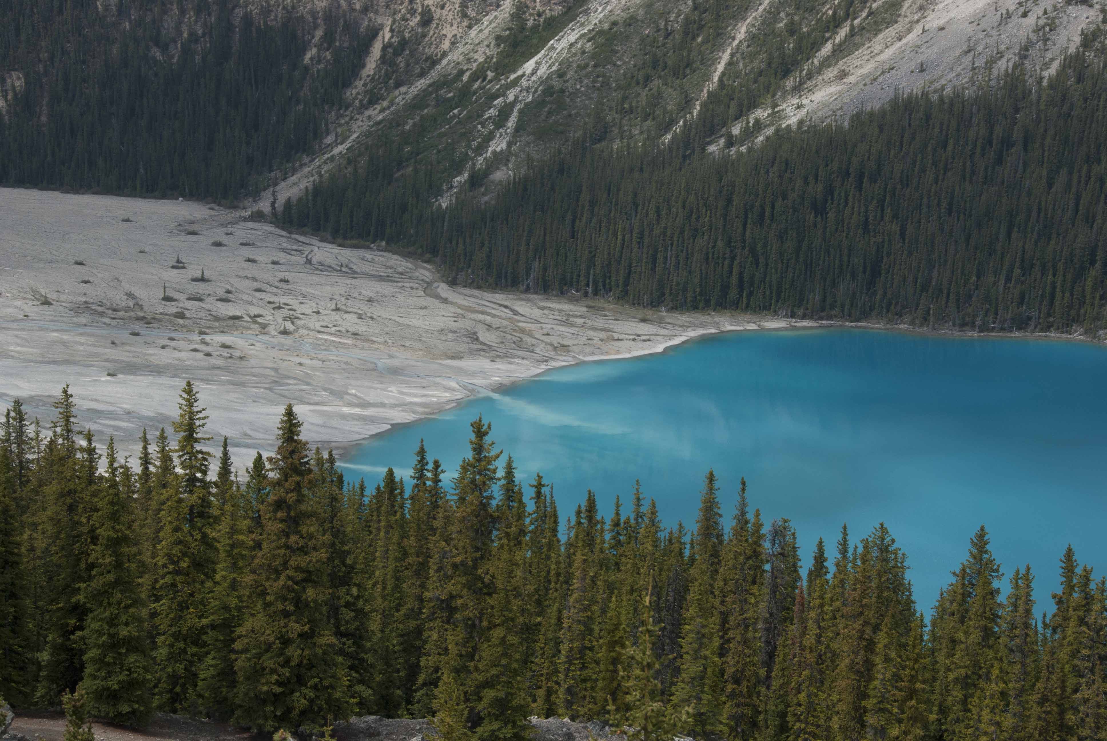
Peyto Lake demonstrated why these glacial lakes are pale blue to green. The following photograph clearly shows the glacial runoff depositing "rock flour" into the lake. The rock dust is so fine that it takes a long time to settle, and as a result the water absorbs all colors but blue.
Those of us on the bus stopped for a picnic lunch on a bluff overlooking the North Saskatchewan River.

The Icefields Parkway then becomes steeper to the point of a switchback or two,
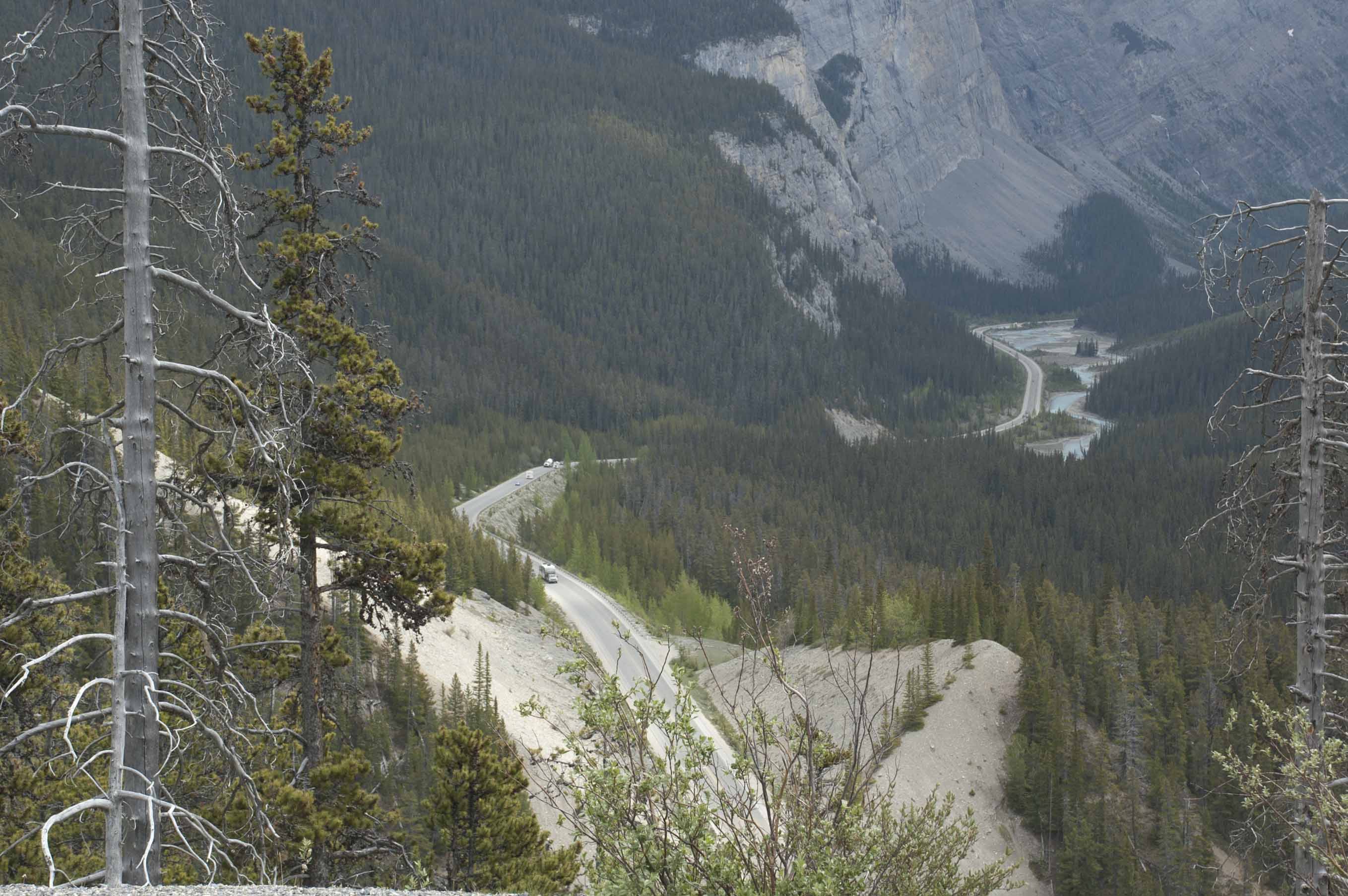
before reaching the tourist center and staging area for the Athabasca Glacier,

where we transferred to the special-purpose Ice Explorer transports (one of which was shown on the first page). If you look in the picture above you can see a diagonal line which is the path across the ice taken by these vehicles. There are some black dots (people) in the area where the vehicles stop. From there, the head wall is much closer!
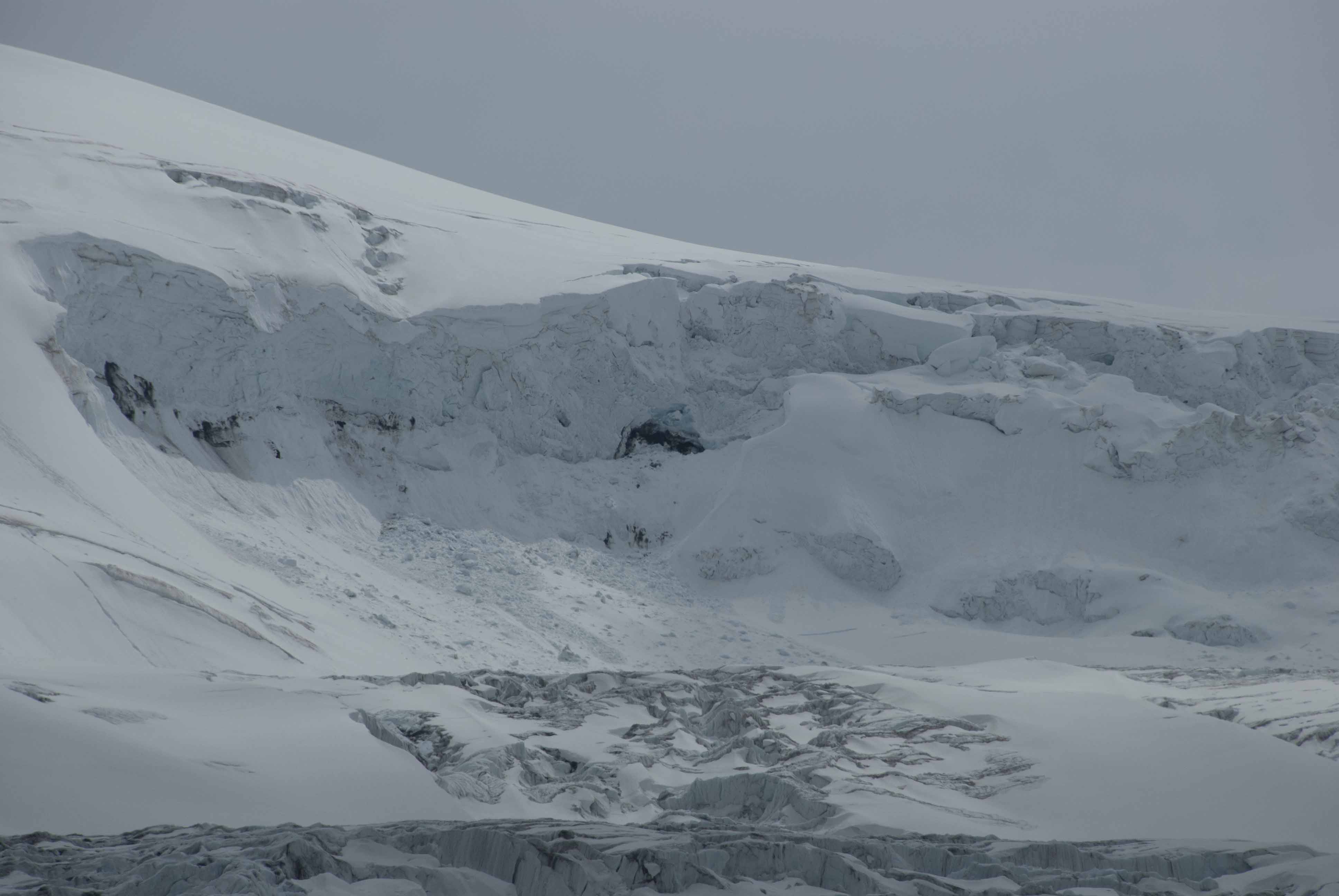
The horizon line is the Continental Divide and the Columbia Icefield (most of which is west of the Continental Divide and as the name suggests flows through the Columbia River to the Pacific). This is an unusual if not unique point -- it is a triple divide with
- the Icefield mostly draining west to the Pacific, but the foreground
- to the left drains into the Saskatchewan River, Hudson Bay and the Atlantic Ocean and
- to the right and at the base of the glacier, the source of the Athabasca River which eventually flows into the Mackenzie River and Arctic Ocean
John can't think of another place where three oceans'
watersheds come together. Can anyone come up with another
location? Somewhere in Central Asia?
The driver/guide and passengers were on the lookout for
wildlife and did spot both a black bear (see Wildlife) and a grizzly bear.
The former was mostly focusing on eating head down but really
close, but the grizzly was farther back, moving and screened
except for fleeting glimpses.
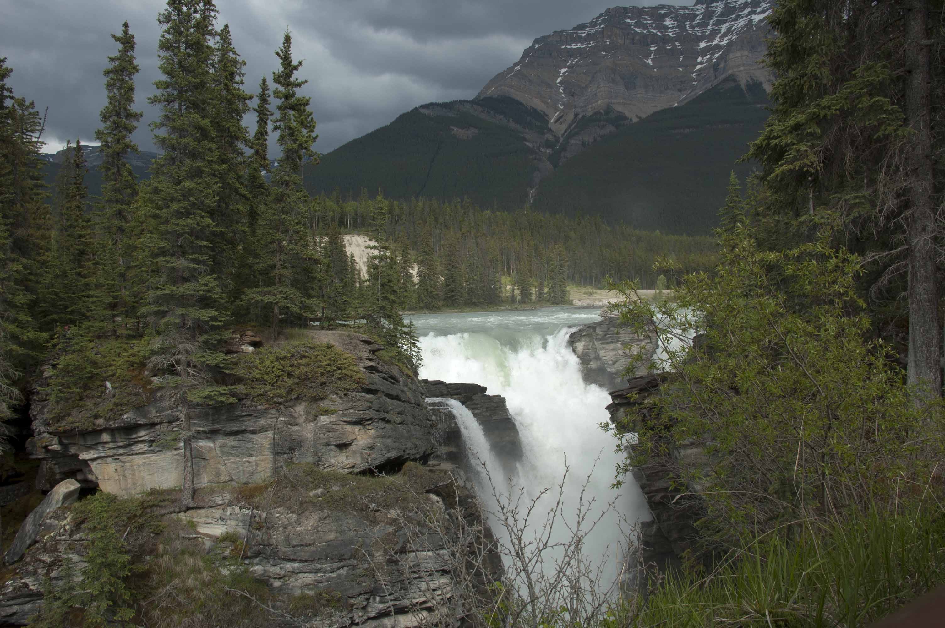
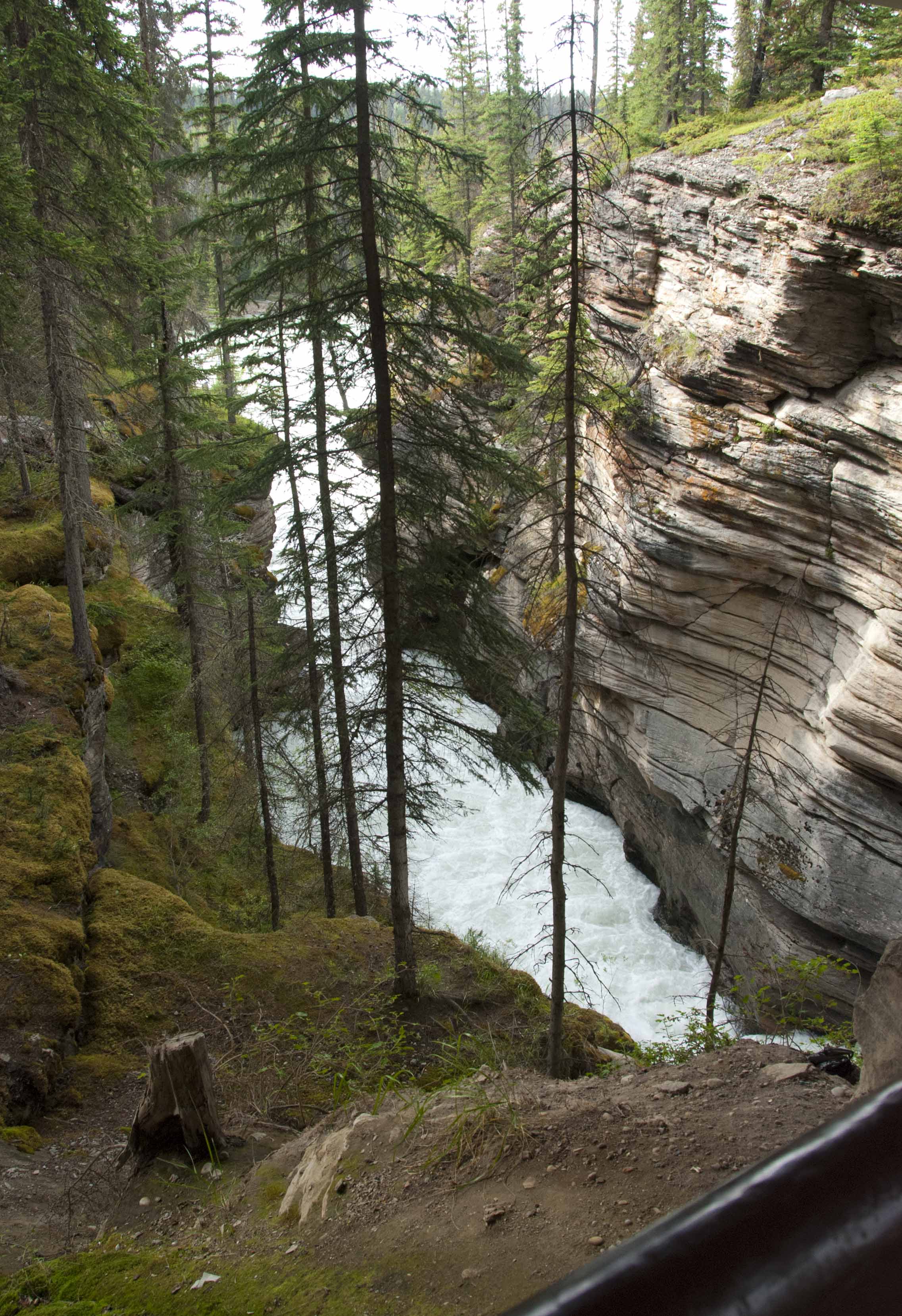
The final stop of a full day of sights was Athabasca Falls, about 18 miles (30 km) south of the town of Jasper. This is an area of limestone so the gorges tend to be deep and very narrow.
Accommodation: Sawridge Inn, Jasper AB
Tours and Transfers: SunDog Transportation and Tours
19 June, Jasper - Medicine Lake/Maligne Lake - Jasper/VIA Rail
Two more lakes and another gorge were on the schedule for the final day in the Canadian Rockies. (And for wildlife, more elk, bears, a bald eagle, a mule deer, and a Harlequin duck. For these, see Wildlife.)
Medicine Lake as Wikipedia points out isn't a lake strictly speaking but a basin feeding a complex underground system. Surface runoff from the lake only occurs at peak Spring runoff and the level of the lake fluctuates during the year.
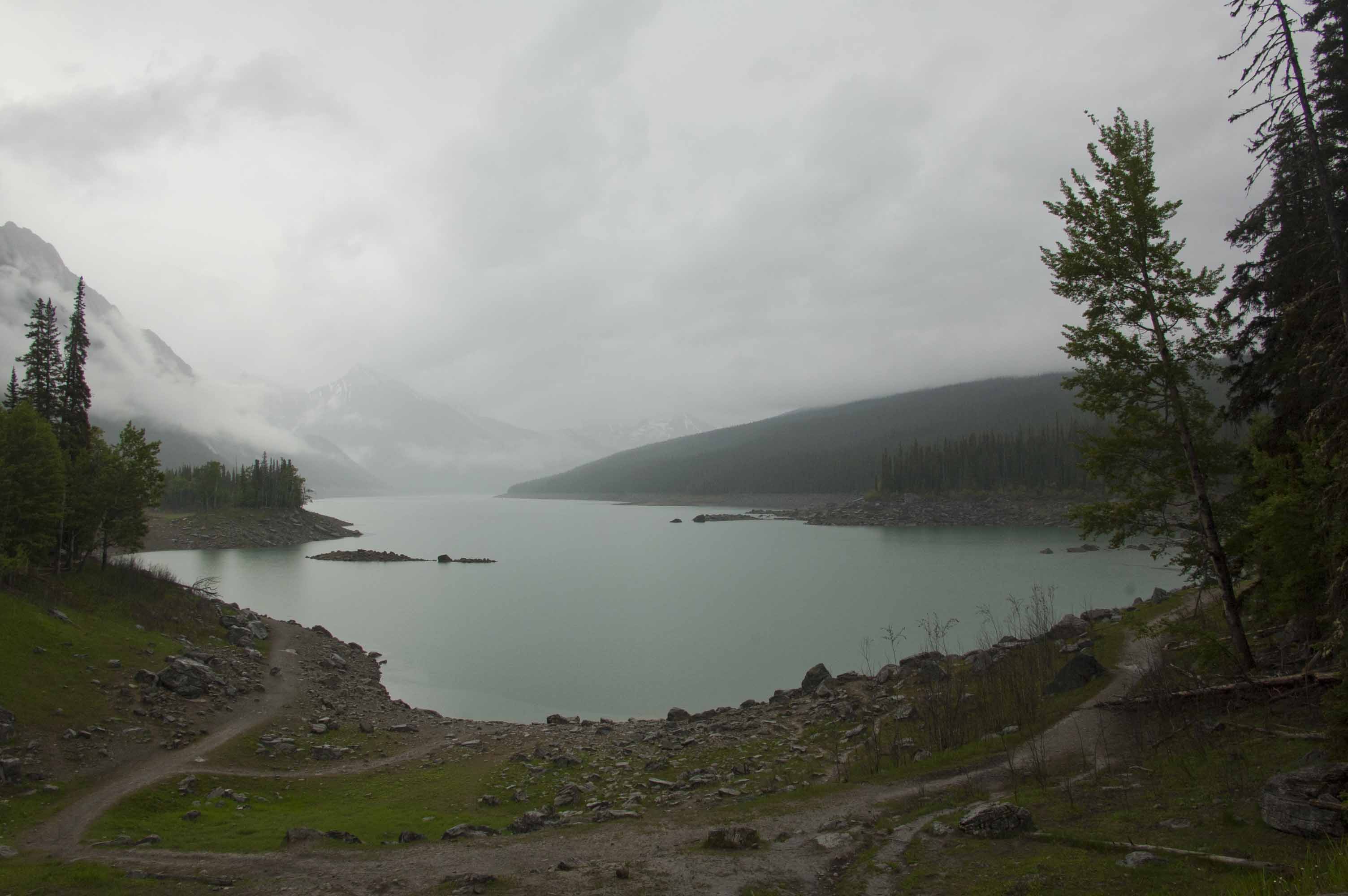
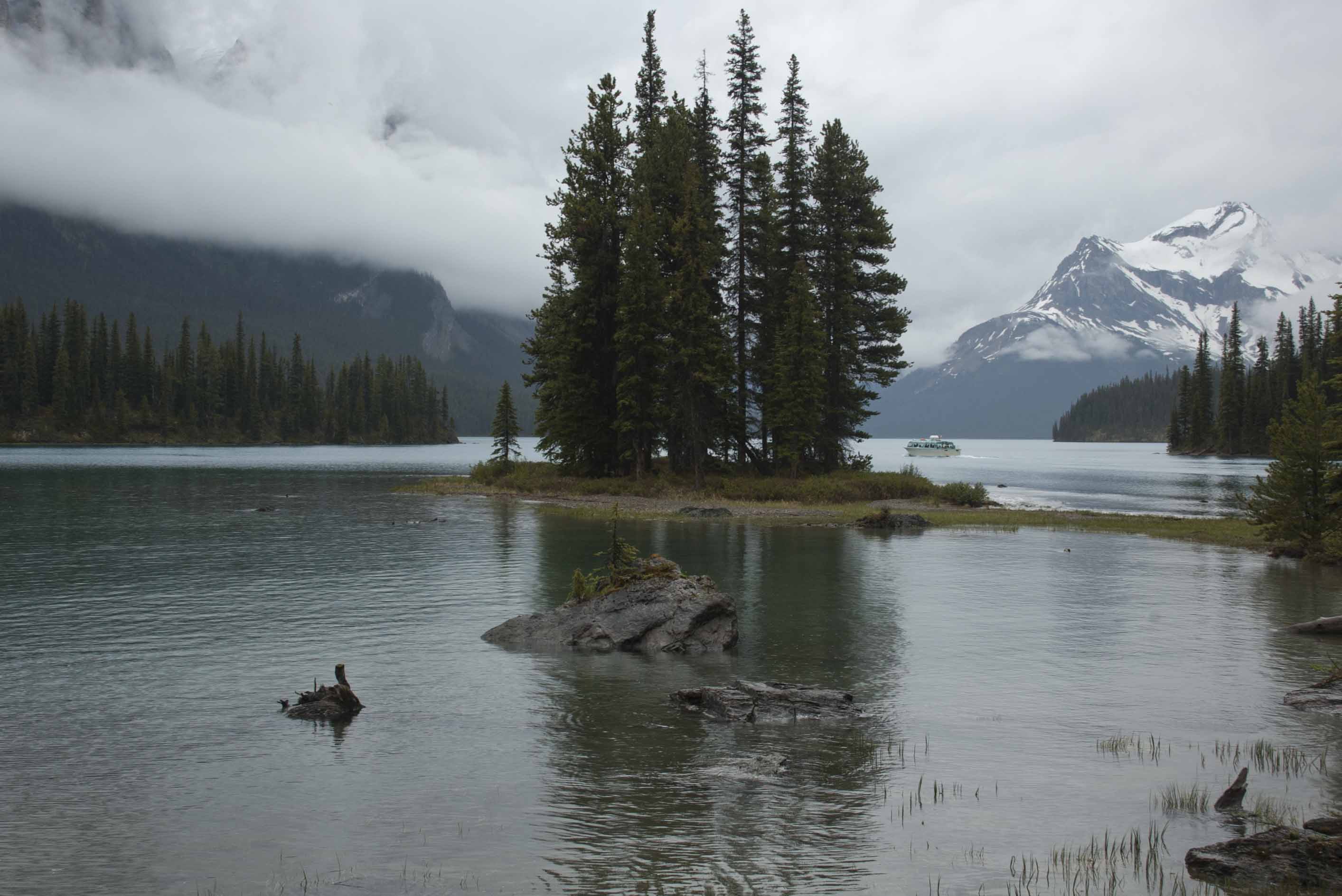
Maligne Lake (5480 feet/1670m altitude) was not discovered nor mapped until 1907-1911. This view of Spirit Island on Maligne Lake is one of the icons of the Canadian Rockies, though usually photographed sunnier if less dramatic light.
When the tour was over, we returned to Jasper, this time to the Canadian National/VIA Rail station to resume our rail journey.