Canada in 2013 page 3 -- Rocky Mountains (Kamloops/Banff/Lake Louise/Jasper) 14-19 June 2013
All pictures, unless otherwise noted, are copyright 2013 by John A. and Elizabeth B. Lucas. All rights reserved.
Introduction Vancouver/Victoria Kamloops/Banff/Lake Louise/Jasper Toronto/Niagara Falls Montreal Quebec/Baie St. Paul Halifax Wildlife Second Thoughts Technical Details
This will be the longest section because of the scenery as well
as the number of days, so it is broken up into this page and a second page to help those with a slow
connection or a slow computer.
14 June Rocky
Mountaineer (Vancouver-Hell's Gate-Kamloops, BC)
The Rocky Mountaineer is an operating company using Canadian
Pacific and Canadian National tracks throughout the Canadian
Rockies. The trains travel only during daylight so nothing is
missed. For the first leg of our transcontinental rail journey
we were booked on the "First Passage to the West" which follows
the Canadian Pacific route through the Rocky Mountains.
Unfortunately, when we were driven to the station near Vancouver
there was no train! There had been a freight derailment in the
famous Spiral Tunnels (east of Kamloops) and the train had been
unable to get to Vancouver in time. It would meet us in Kamloops
for the second day's travel. So, the first day turned into a bus
trip with a fleet of full-sized tour buses, using the
Trans-National Highway Canada 1 which parallels the tracks for
much of the distance to Kamloops. We felt that the company and
staff did an excellent job with the contingency plans for a
situation clearly beyond their control.
The route follows the Fraser River upstream through the Coastal
Range and the Selkirk Mountains, through the Fraser River Gorge
to the confluence of the Thompson River with the Fraser. The
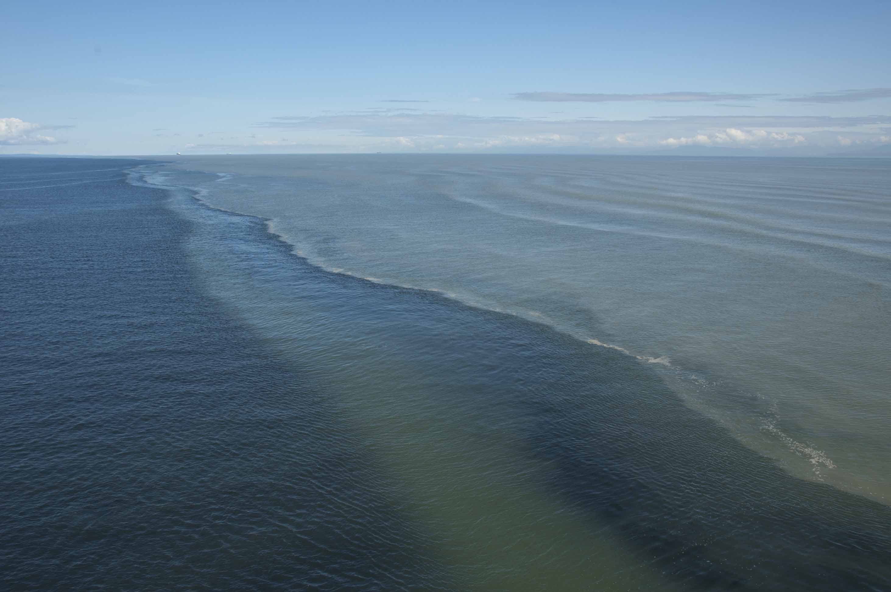
Fraser is a vigorous river laden with silt and rock "flour" --
we could see the murky water from the Fraser side-by-side with
clearer water of the Strait of Georgia during our ferry trip
from Vancouver to Victoria. This effect stretches for miles down
the coast from the delta of the Fraser River.
About 25 miles (40 km) downstream from the Thompson-Fraser River
confluence is Hells
Gate, a constriction within a deep gorge. The river, the
Transcontinental Highway, and both the Canadian Pacific and
Canadian National pass through the gorge. So we would have seen
Hells Gate from the Rocky Mountaineer train, just not a great
view. Traveling in buses, however, we were able to stop and take
the cable car/tramway down and across the Hell Gate.
At this point, it is relevant to point out that John is NOT
fond of cliffs, fire towers, glass elevators, cable
cars, suspension bridges and floors with open
grid or, worst, glass. He has always had this acrophobia,
even a step ladder is a trial. (Italics indicate "features"
present here. Add a 30 mph (48 kph) wind with higher gusts
blowing upstream, swaying the gondolas just for "fun".)
Nevertheless, we both went.
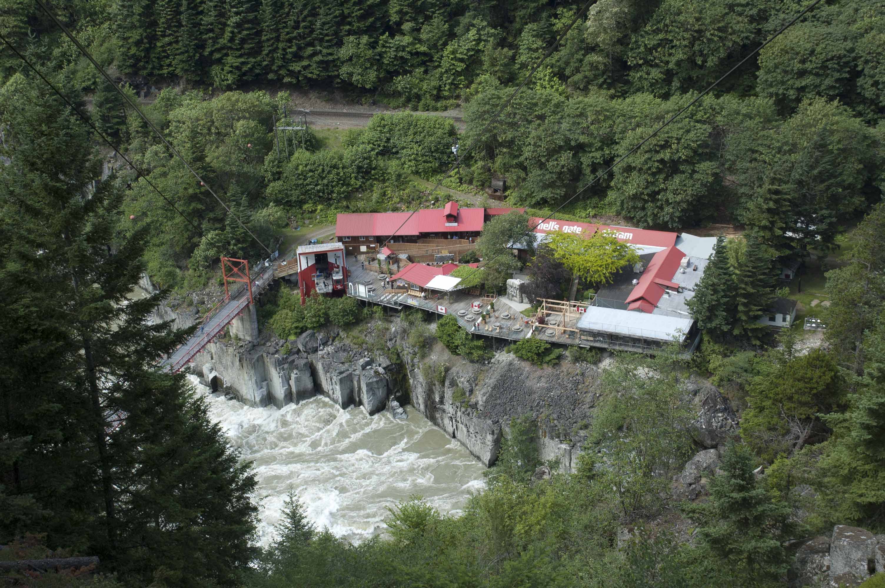
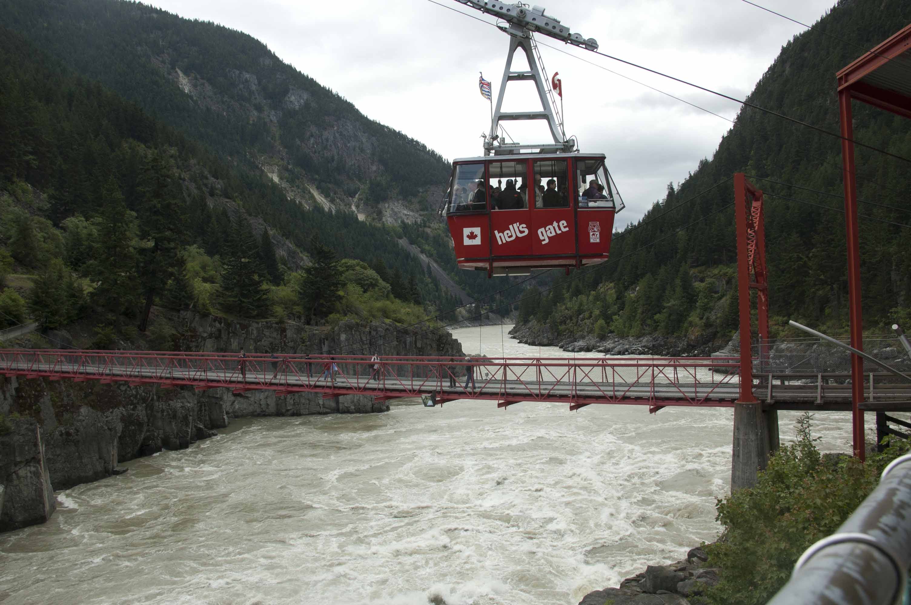
(Above) The view from the upper station and the highway. Beyond the lower station are the Canadian National tracks.
(Below) Looking downstream and more or less south from the
lower station.
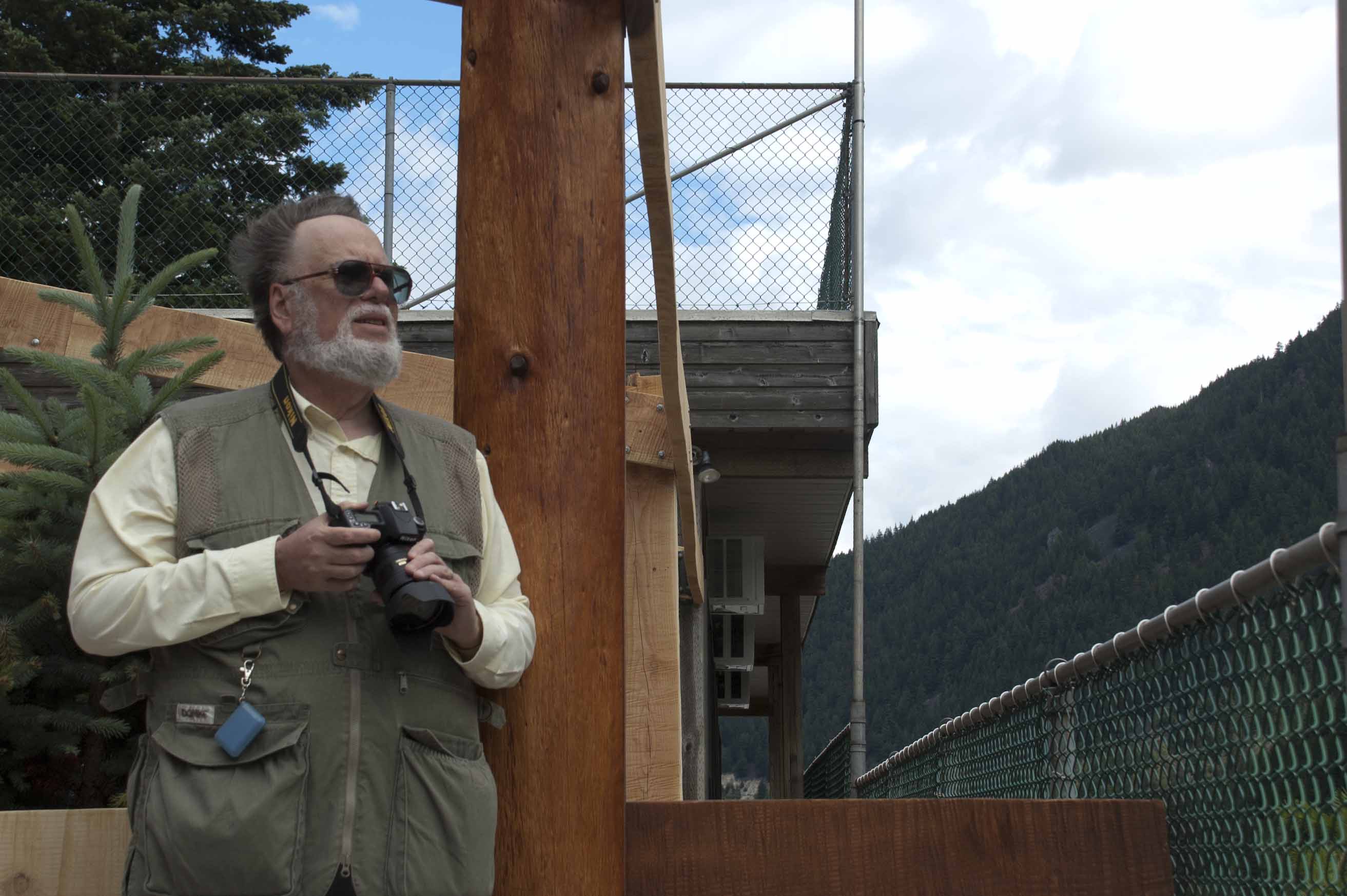
(Above) John standing well back from the edge, thinning hair
blown back by the wind.
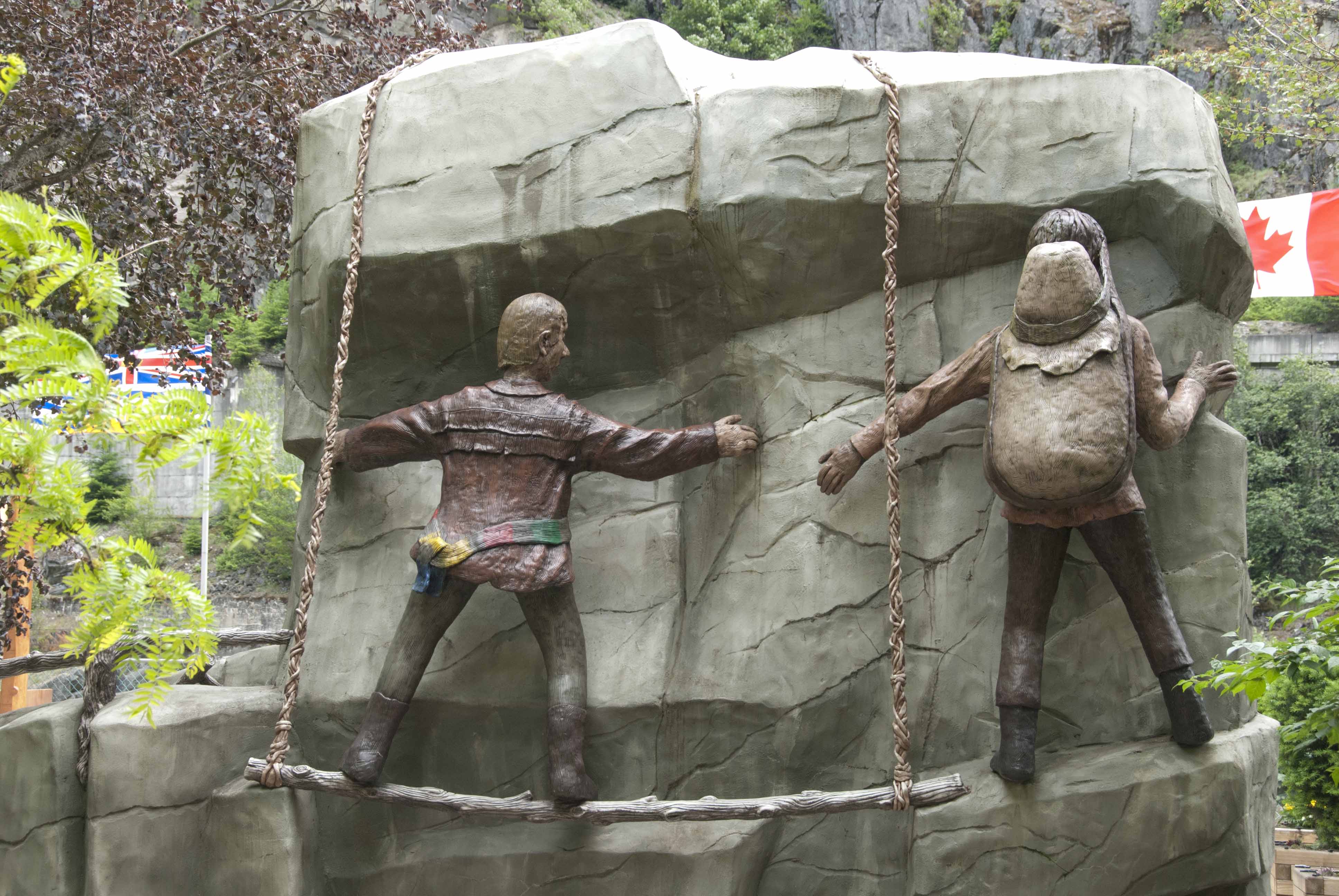
(Below) A statue commemorating the first water level traversal
of the Hells Gate. White water rafters now do navigate this when
the flow and depth are within safe limits.

Downstream from Hells Gate on the suspension bridge.
The freight train is westbound to Vancouver on the Canadian
Pacific tracks. The Rocky Mountaineer would have been using
these tracks in the opposite direction. Eastbound freight trains
use the Canadian National tracks because of lesser grades. Near
the top of the photo is the ledge on which the Trans-Canada
Highway runs.
Both railroads and the highway leave the Fraser River and use
the Thompson River heading upstream and east to Kamloops, BC.
The Rocky Mountaineer disperses its passengers (whether arriving
by bus or by train) throughout Kamloops in various hotels, which
one apparently determined by which railroad car you are in.
There was major shuffling as the buses had not been assigned by
railroad car. (The next morning's transfer, however, was easy
and direct.)
Kamloops is
- the confluence of the North Thompson and South Thompson Rivers
- the divergence/junction of the Canadian National/Canadian Pacific routes (respectively following the separate river branches)
- about 60 air miles (100 km) northwest of Lake Okanagan, a wine growing region and site of Ogopogo, a First Nations lake monster that antedates Nessie
We were assigned to the Hotel
540 in Kamloops by the Rocky Mountaineer and ate across
the street at Frick
and Frack, pub with outside tables, 130 beers and ales,
and a mildly eccentric character. It was a fine evening and we
enjoyed our meal. We walked after dinner, crossing over the
railroad tracks and finding both the Rocky Mountaineer offices
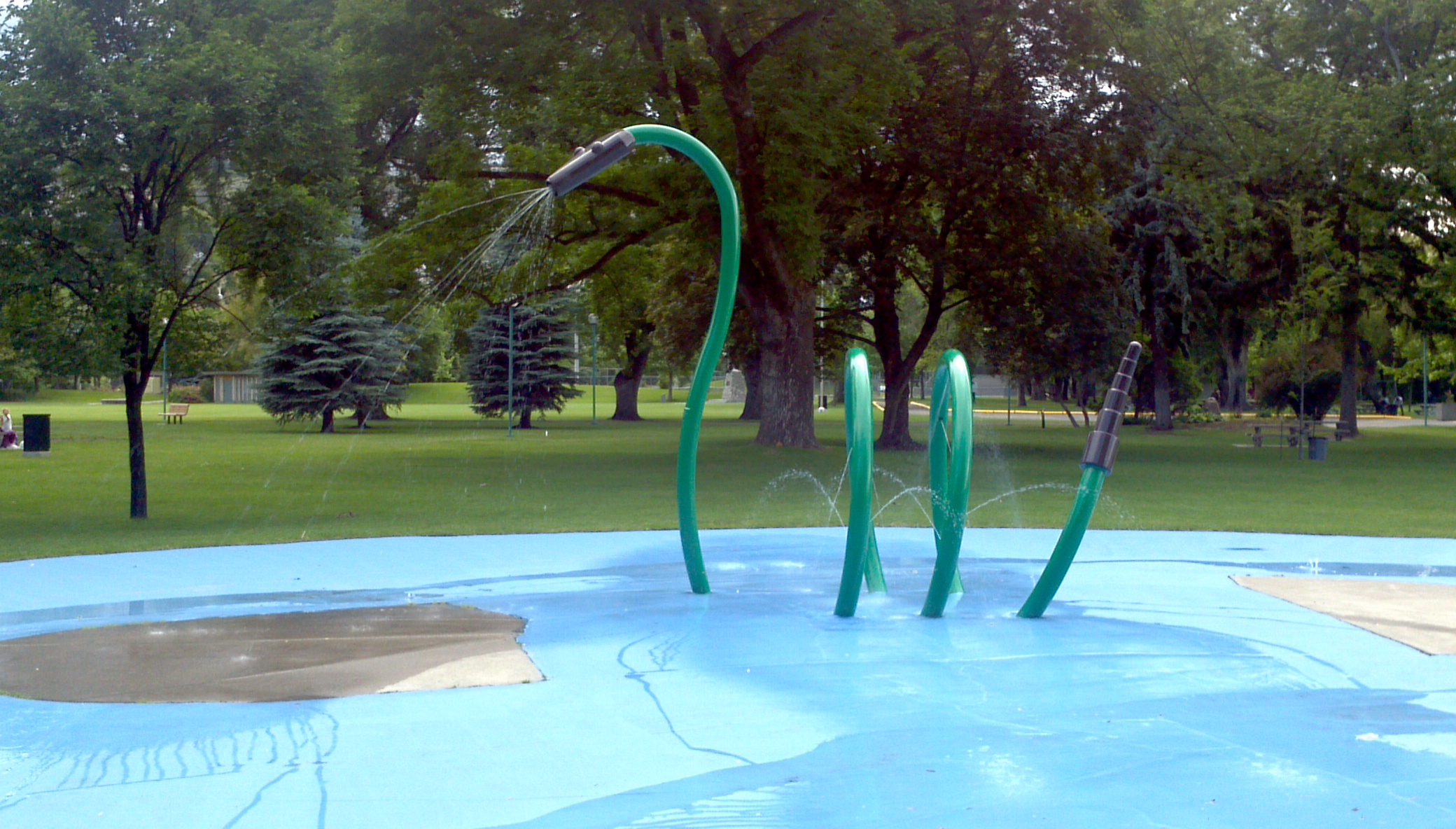
and Riverside Park right at the confluence. There was an Ogopogo
fountain in the park! (This photo taken on John's smartphone as
we had not taken our cameras to dinner.)
15 June Rocky
Mountaineer (Kamloops, BC to Banff, AB)
At last a train! A bus carried us the four or five blocks we
had walked the night before. And there it was! We were in
the last of the "Gold Leaf Service" cars and thus also the
last car on the train. Gold Leaf uses bi-level cars with
seats upstairs under full wraparound windows and dining
room, restrooms, and open-air vestibule downstairs. The
Rocky Mountaineer lives up to its reputation for quality,
service and drama.
Though we had missed the first day,
the second day was certainly spectacular. From Kamloops, the
scenery gets more and more vertical with each mile eastward.
Finally about 10 miles west of Lake Louise, the tracks enter
the Lower and then Upper Spiral
Tunnels (inside Yoho National Park). The two tunnels
are in different mountains and gain about 105 feet (32m)
elevation in the climb to Kicking Horse Pass and the
Continental Divide. Freight trains are long enough to cross
over themselves but not the passenger trains. Fortunately,
there was no derailment that day so we could enjoy the
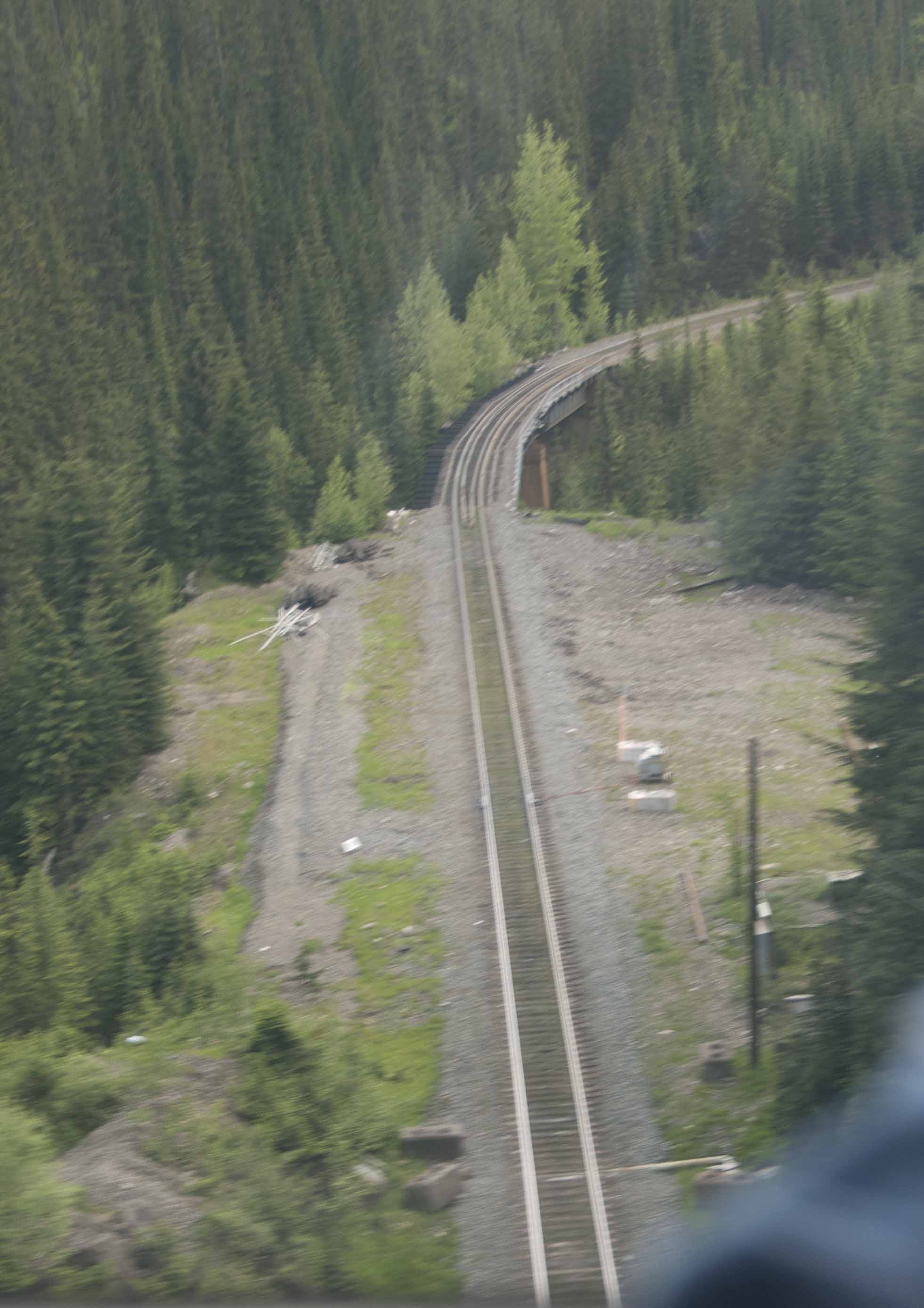
experience. The following was a quick-grab shot, but it does
illustrate the drama of this location. We have just emerged
from climbing through the Lower Spiral Tunnel and are
crossing the valley and the tracks to enter the Upper
Tunnel. As with so many other attempts the best railway
photography is not on the train but beside the
tracks.
After dropping off some of the passengers at Lake Louise,
Alberta (new province, new time zone, eastern side of the
Continental Divide), the train traveled to Banff where we
got off and were transferred to our hotel, the Rimrock Resort Hotel.
We've been in some great hotels, but the view from this room
718 was jaw-dropping, drop-dead gorgeous. We just stood and
stared for a couple of minutes. We suppose there are hotels
in the Alps to rival this, but this tops our list at the
moment. (The following is a two-frame merged shot out of the
windows, reflection and all. Late afternoon, 15 June, facing
roughly northeast) We turned the two side chairs around from
facing the room to facing THIS!

The town of Banff lies below the central peak of
Cascade Mountain. At the far left is part of Mount Norquay
and at the far right is part of Mount Rundle. The two
smaller mountains just outside the town are Snow Peak (left)
and Tunnel Mountain. The Bow River is visible twice in right
center. The Bow River flows east to Hudson Bay and
eventually the Atlantic Ocean. Just a few days after we left
the area, the Bow and other area rivers severely flooded
Calgary and other downstream communities after heavy
rainfall. We were on our way to Toronto when this happened
though the rains were in the forecast while we were there.
The hotel sits on the side of Sulphur Mountain.
Ground floor is the seventh floor (the one our room was on),
with seven floors down and two up from there.
Accommodation: the
Rimrock Resort
Hotel
Tours and Transfers: SunDog Transportation
and Tours
16 June (Banff, AB)
We had a "Best of Banff" tour in the morning
(Sundog) which included the Banff
Gondola ride up Sulphur Mountain. The lower station is
only about a quarter mile or so from Rimrock, an easy walk,
but our tour guide picked up at the hotel and took us there
first hoping to beat the other tours (only partially
successful). Yes, it was another gondola ride, but this one
John had been prepared for and well worth it! (A four-frame
merged panorama, looking roughly northwest)

The town of Banff, Alberta from atop Sulphur Mountain. In the distance, the Trans-Canada Highway bypasses the town at the foot of Cascade Mountain. The Bow River flows through the town from left to right. We saw a mature male elk drinking at the riverbank between the two visible bridges in the noonday sun. Black bear and wolves are also encountered within town limits though we didn't see any them here.

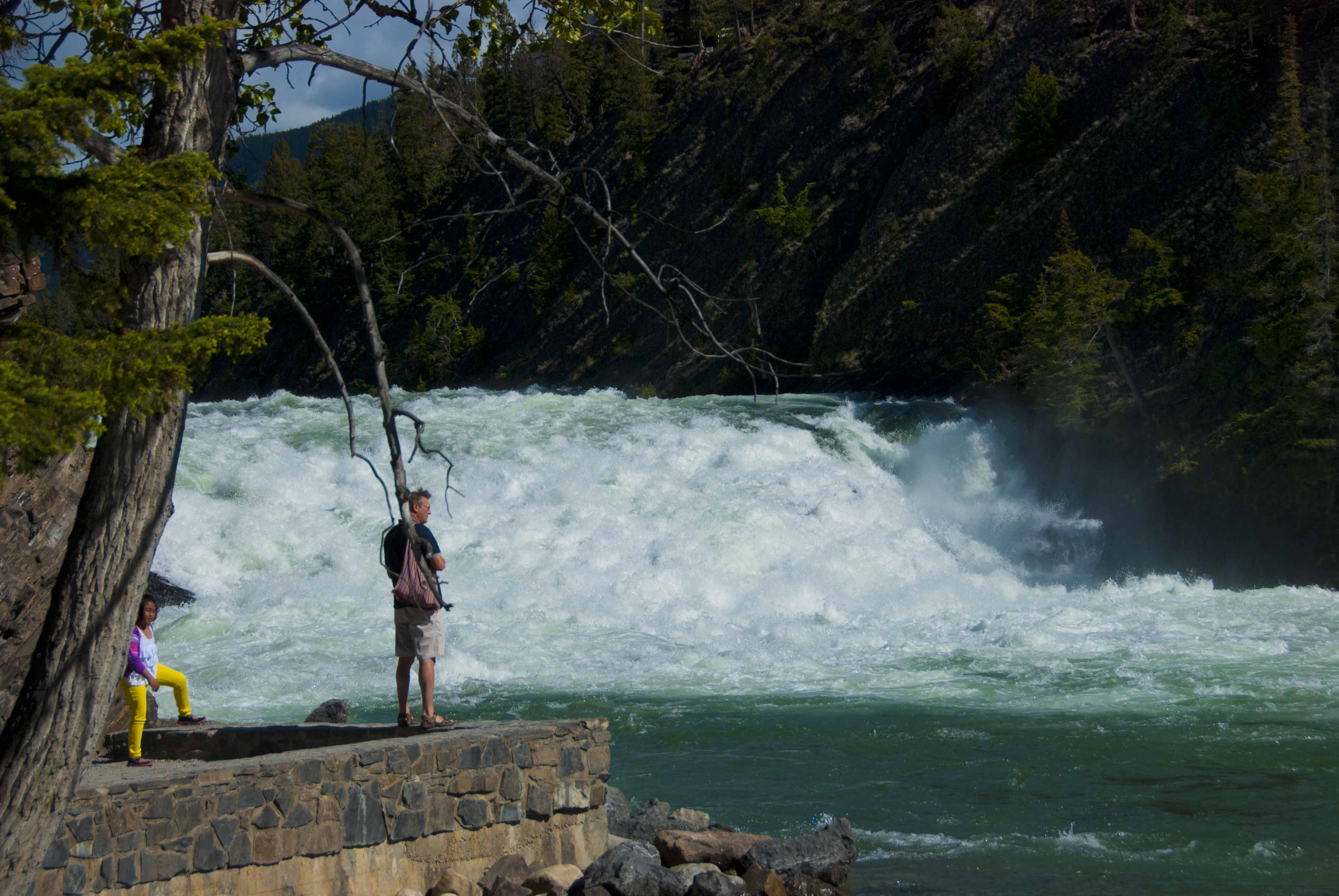
Back down the mountain and onto the bus. Just downstream from the town is the Bow River Falls.
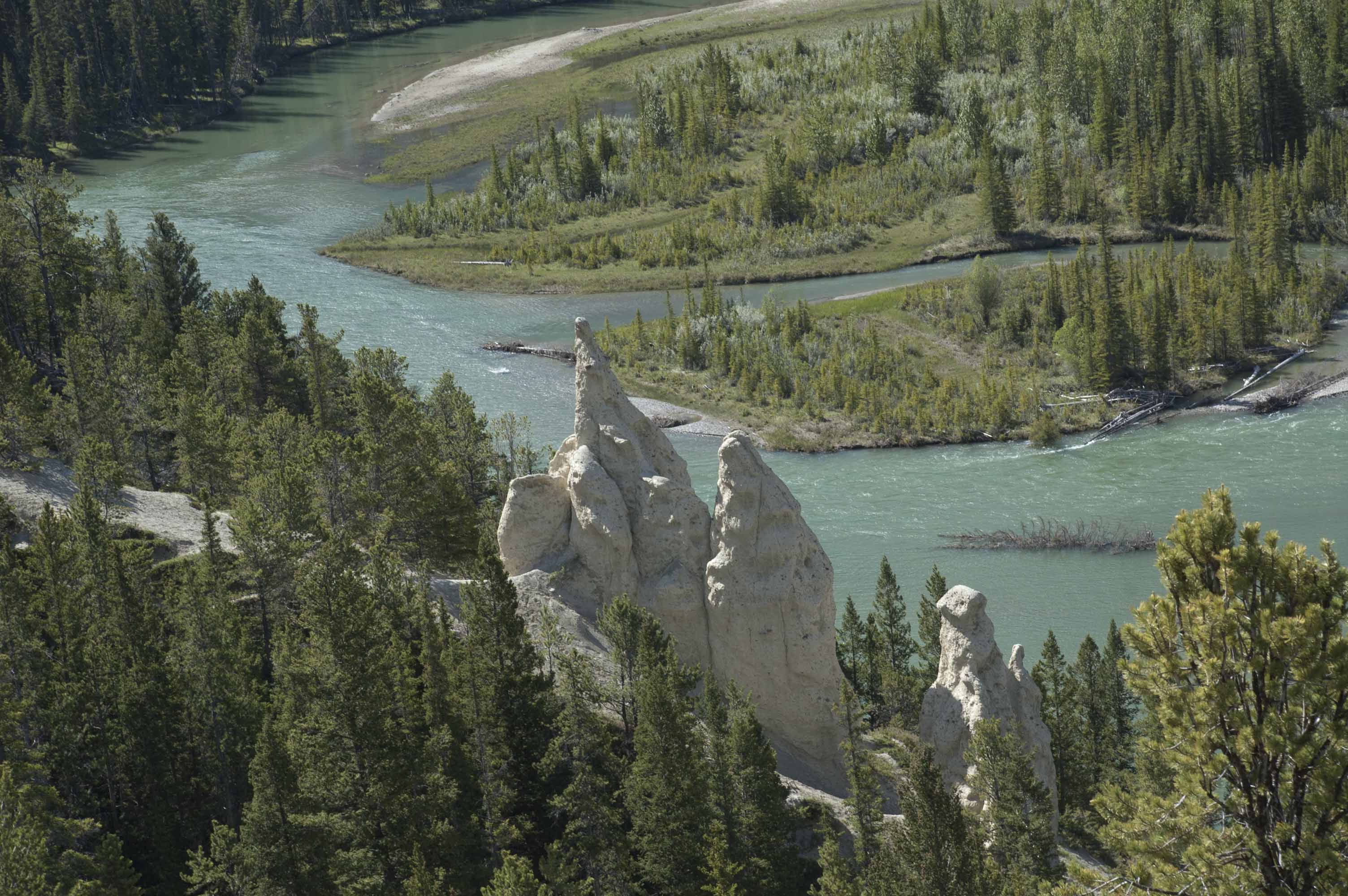
Still further downstream, the Bow River flows past "hoodoos," formations of eroded sandstone thought to be petrified evil spirits in the legends of the area.
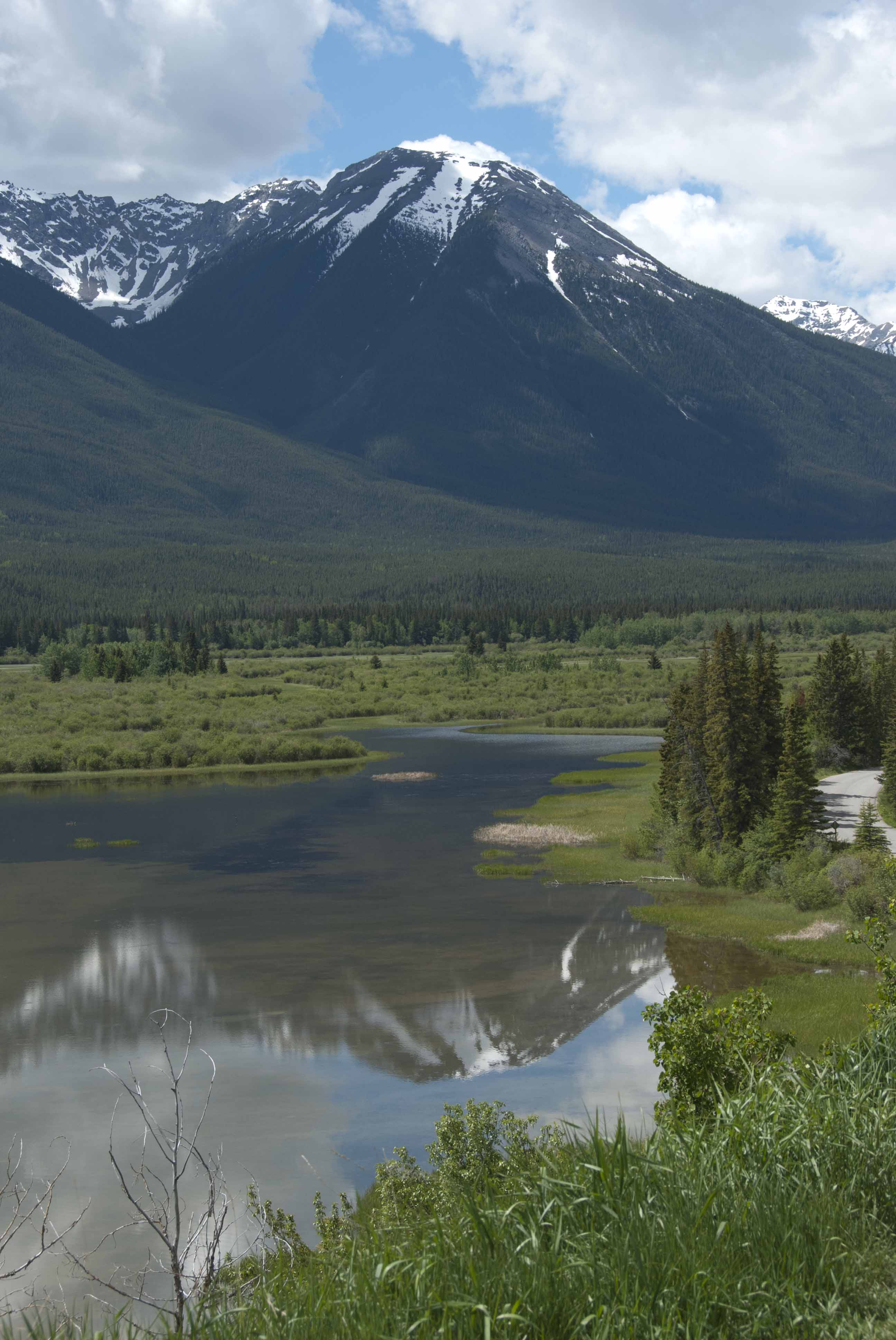
Upstream from the town and west, here is a view of Sundance Peak.
While we were in Banff, we also window shopped in the town, had a very good lunch at the Banff Avenue Brewing Company, and saw the upper mineral springs (there is a reason that Sulphur Mountain has that name).
17 June (Lake Louise AB)
A Sundog van took just the two of us the 30 miles or so to Lake Louise (still in Banff National Park.
Accommodation: Fairmont Chateau Lake Louise
Tours and Transfers: SunDog Transportation and Tours
Another unbelievable room although we did not like the hotel nearly as much as Rimrock at Banff. First in afternoon sun, then the following morning.

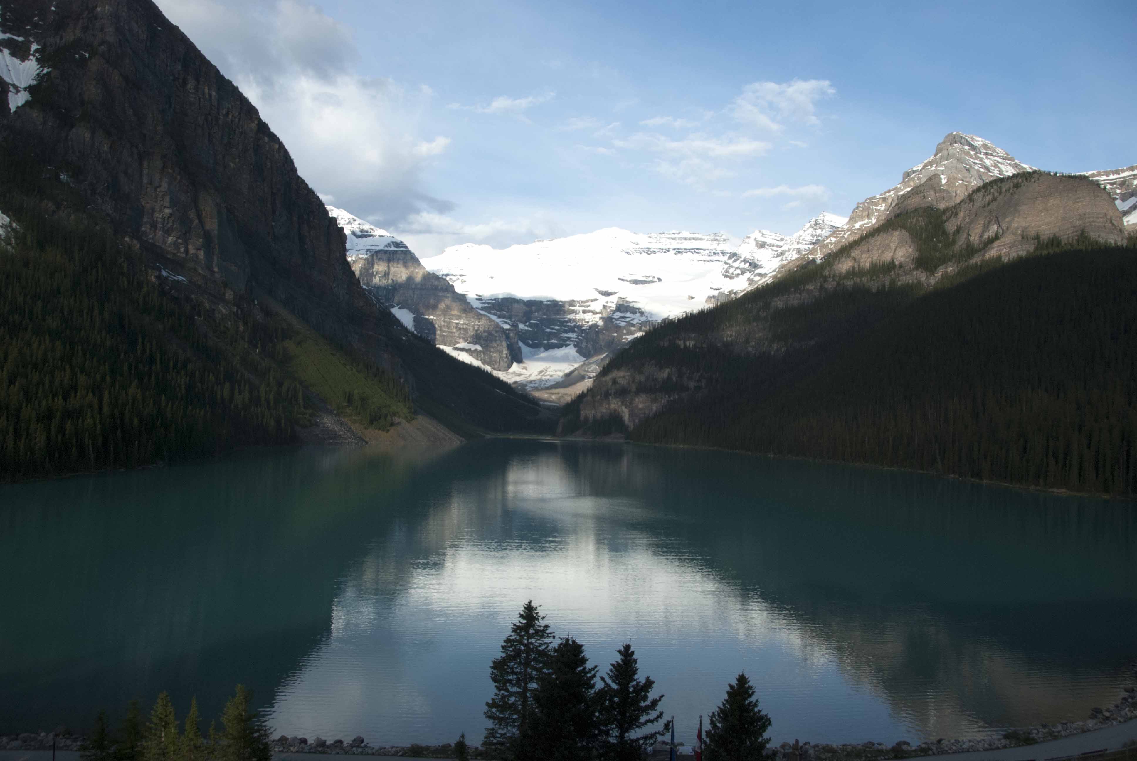
After settling in, we grabbed our cameras hiked beyond the end of the lake to the first patch of snow still on the ground. In all honesty, the patch of snow we reached is not visible in the picture above and considerably lower than what you can see. As with most of the lakes in the park, the head wall is the continental divide. Beyond the exercise and the scenery, this is when we spotted a mountain goat high above the trail (see Wildlife).

Continued on the next page...