Oz in '08 -- Beth and John Lucas Tour Australia, 5
All pictures, unless otherwise noted, are copyright 2008 by John A. and Elizabeth B. Lucas. All rights reserved.
Introduction Sydney Canberra Melbourne Western Victoria Queensland Uluru-Kata Tjuta Notes on the Photos GBCC File Transfers
Warning! Heavy concentration of pictures of extremely photogenic landscape coming up.
Saturday, 14 June 2008 to Tuesday, 17 June 2008
On the 14th, we drove out of the mists of the Dandenongs west of Melbourne, through the city on the toll road, past the city of Geelong to the coastal town of Torquay. We stopped for a rest break and a tourist guide as Torquay forms the eastern terminus of the Great Ocean Road, built between WW I and the Great Depression as a war memorial. The Great Ocean Road skirts beaches, cuts across steep slopes and crosses steep ravines. It befits its name as a scenic road not the fast way to western Victoria.The Great Ocean Road, Torquay to Warrnambool VIC
Our first stop was The Split Point Lighthouse, "The White Queen" at Aireys Inlet, VIC. It was getting close to sunset but there was just enough light to explore around the light before resuming our day's journey.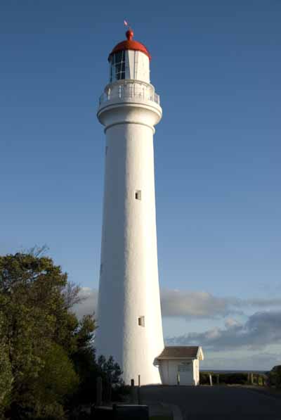
We stayed overnight in Lorne, a beach town as deeply in winter's sleep as Lakes Entrance had been before Melbourne. It rained overnight and was gloomy when we got up. That bid not bode well for the landscape that we were about to visit.
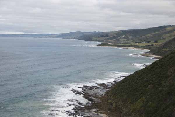
Perhaps 20 kilometers west of Lorne is Cape Patton. The picture below is looking west across Apollo Bay, showing that occasionally the coast is neither cliffs nor beach. At the extreme left and on the horizon, perhaps 25 kilometers away is Cape Otway...
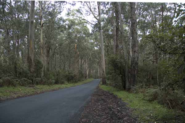
...reachable by getting off the Great Ocean Road and taking this road for 14 kilometers to the Cape Otway Lighthouse. We took this picture to show typical Australian bush. The trees are not deciduous, but eucalyptus drops leaves, bark and branches at the slightest provocation all year long. They warn you not to park your car or camp underneath some of the species. This is koala country and indeed down the road a bit was a gaggle of parked cars where one person had spotted a koala in a tree and everyone else had to get out to stare and try to take a picture. At least it apparently was more lively than the ones had been in Healesville earlier.
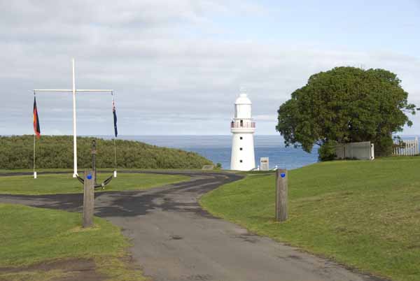
This is The Cape Otway Lighthouse and the furthest south latitude that either Beth or I have ever been, 38° 51′ 26″ S. (Tewksbury, Massachusetts is 42.6° N by comparison.)
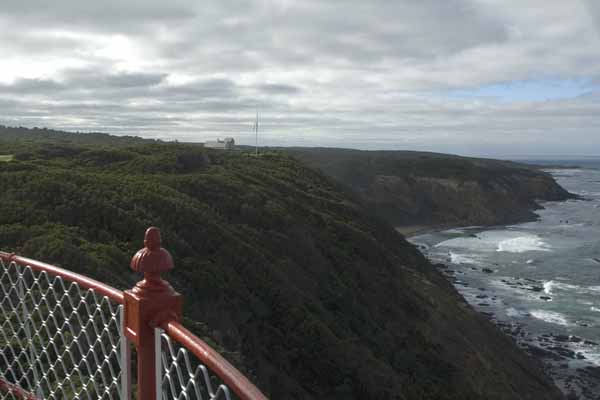
Beth climbed this lighthouse to take this clifftop picture looking east toward Apollo Bay. The telegraph station (for the underwater cable to Tasmania) is just visible on the adjacent cliff.
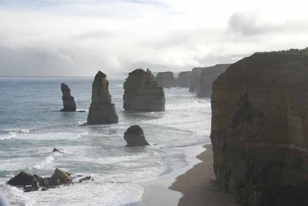
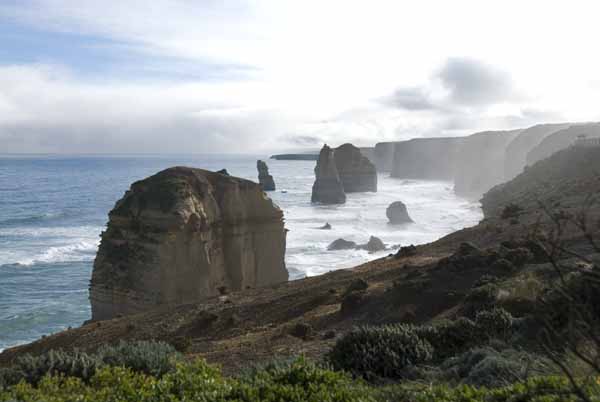
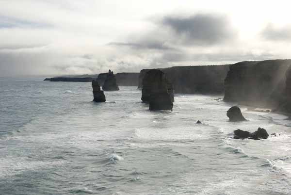
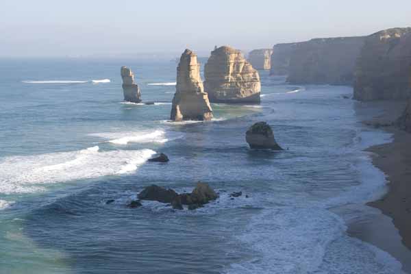
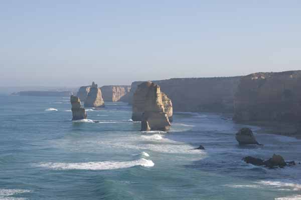
Back to the Great Ocean Road and an hour or two of zigzagging through Princetown (where we stopped for lunch) and Port Campbell (where we stopped to fuel the car). In the next 12 or so kilometers west of Port Campbell are at least five turnouts or major parking areas for some of the most iconic coastal scenery in Australia. The first is also the most famous, The 12 Apostles. Parking here reminded John of Stonehenge (at least as it was in 2005) -- park on the opposite side of the road with shop, rest rooms, etc. then walk under the roadway to get to the focus of attention. It was mid to late afternoon light, with intermittent showers and ocean spray blowing in from the Southern Ocean. It made for a moody, dramatic rendering of a familiar vista with the light changing its character every few minutes. Here are three views from slightly different positions. (No apologies for the repetition, you're getting only 3 of about 20 we shot that afternoon! -- and there's more the come...)
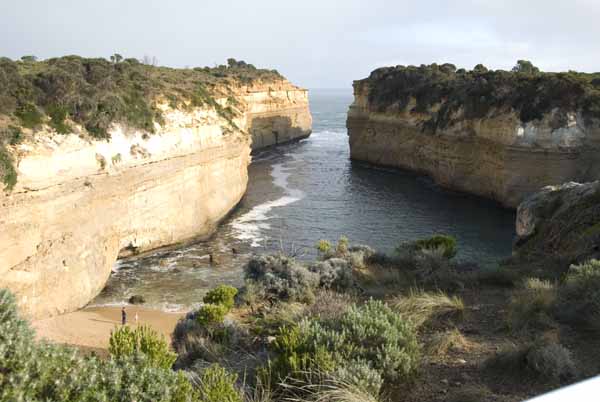
Nearby, a mile or so, is The Loch Ard Gorge, site of a major wreck of the Loch Ard offshore. The only two survivors found refuge in the gorge. This is the same afternoon, a few minutes after the 12 Apostles. For scale, notice the two figures on the beach.
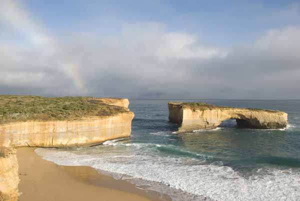
Just the other side of Port Campbell is The London Bridge now referred to as The London Arch since 1990 when its landward arch collapsed. Allan Peace had told us beforehand that he and his family had camped on the now fallen arch. Perhaps it was their tent pegs that spelled the doom of the arch!
(With rainbow, afternoon light. Of course, where there is a rainbow there also has to be rain and we had been dodging showers all afternoon on this drive.)
From the town of Peterborough, the Great Ocean Road heads inland and terminates at Warrnambool, our destination for the night.
It rained that night and was foggy when we arose, but it promised to be fair.
We decided to improvise on our itinerary and drive the 50 kilometers east back to the 12 Apostles, then head inland from there instead of the planned drive due north from Warrnambool. This gave us the chance to see several of the sights in early morning light with a lightly clouded sky.
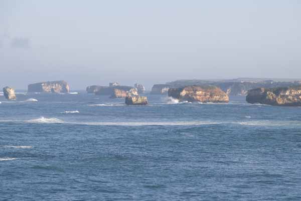
Here is The Bay of Islands in morning light. This is between Warrnambool and Peterborough.
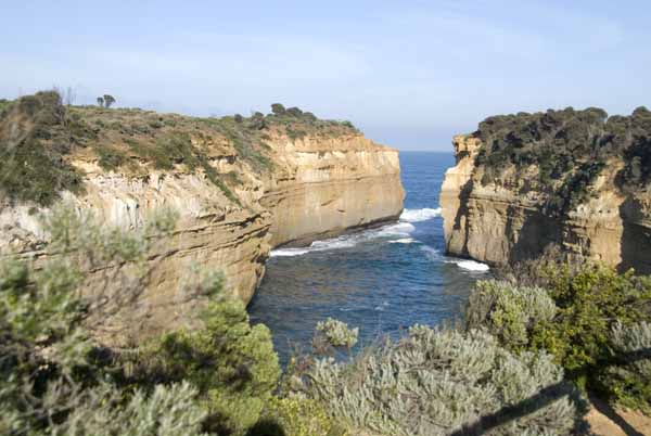
Here's The Loch Ard Gorge in morning light.
And then finally The 12 Apostles in the early morning, an entirely different mood to the picture. Take your pick (there are many more)!
The Grampians, Halls Gap VIC
We then headed across country from near the 12 Apostles, using C-class roads (still well marked and with plenty of room) to rejoin our planned route just outside the town of Penshurst, VIC. Our destination was Halls Gap and the Grampians National Park. From quite a distance away, the southern outliers of this range become faintly visible through the haze and mist. As the kilometers click by they increase in clarity. Mt Sturgeon and Mt Abrupt from between Penshurst and Dunkeld, VIC, plainly showing the upthrust sedimentary shape with gradual slopes to the west and precipitous escarpments on the eastern sides. The road to Halls Gap runs past Mt Abrupt at its base.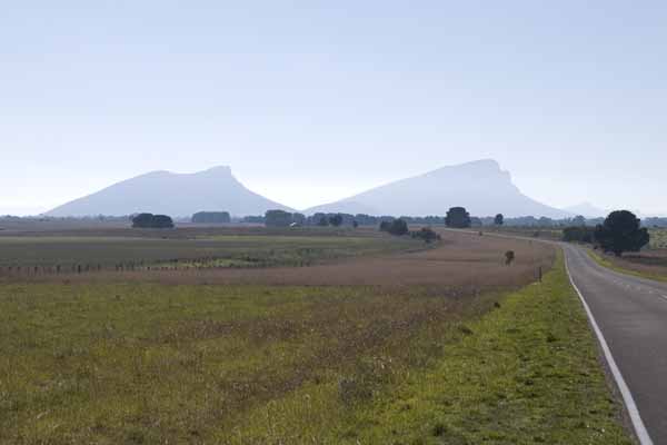
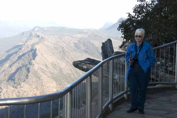
Halls Gap is a village in the valley between two of the ranges. Here is Beth at Boroka Lookout just about directly above Halls Gap, VIC. Mt William, the tallest point in the Grampians is barely visible in the distance behind the foliage. About 50% of the park was burned in bush fires in 2006 and many of the trailheads were still closed due to continuing drought and fire danger.
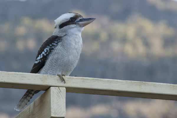
We stayed that night at the Kookaburra Motel in Halls Gap. They were truthful in advertising with a family of four being fed by the owners. Two of the birds even perched for a while on our car, looking for all the world as if they wanted to go for a ride. Between the kookaburras, several wattlebirds and several species of parrots, it was a noisy neighborhood until after dark, and then with the dawn. No need for alarm clocks here!
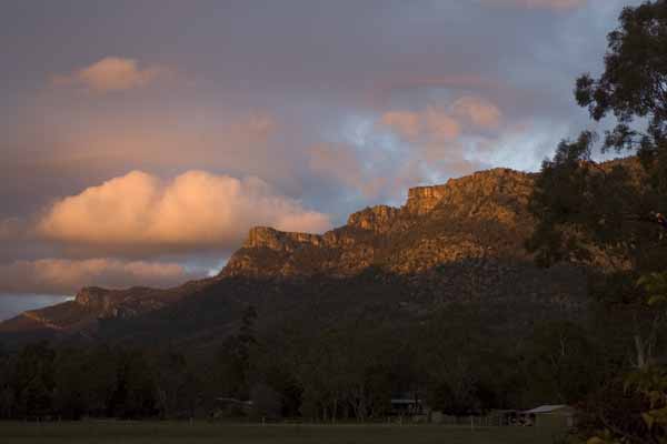
The view from the terrace at the rear of our motel room was spectacular. Though the valley was in shadow, the Serra Range was still in sunlight. The meadow before us held both calves and kangaroos and squadrons of parrots were loudly coming home to roost in nearby trees.
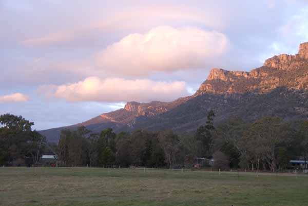
We watched until it got quite dark and chilly, then headed off for dinner.
Ballarat VIC and Sovereign HIll
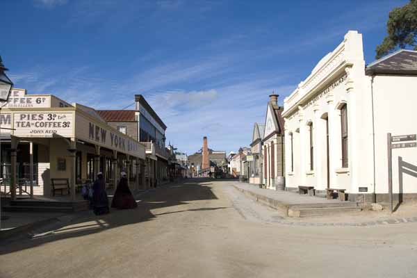
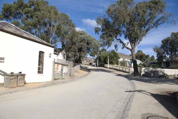
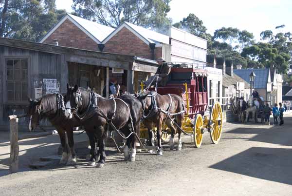
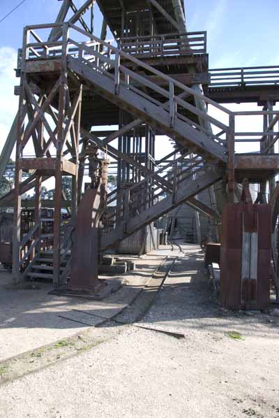
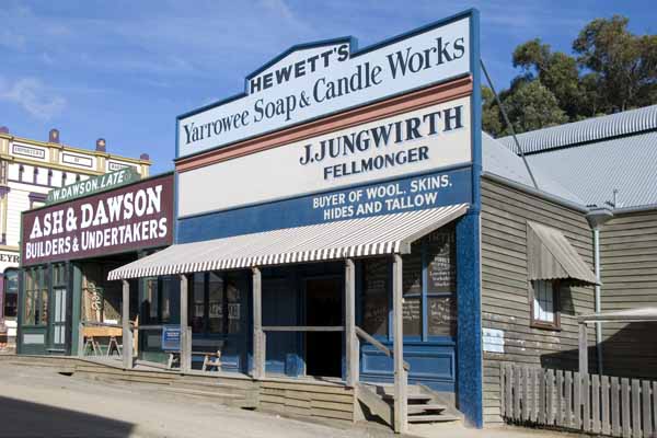
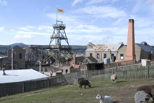
Tuesday the 17th was spent returning to Melbourne by way of Ararat and Ballarat. In Ballarat, one of the major Victoria gold mining towns, we visited Sovereign Hill, a recreation of circa 1850s Ballarat during the gold rush. As this was occurring at the same time as the California Gold Rush, it's not surprising that Sovereign Hill looks quite "Western". It is a recreation rather than a restoration and so isn't quite the same thing as Colonial Williamsburg in Virginia (buildings restored in their original places, c. 1700) or Sturbridge Village, Massachusetts (authentic mid 19th century buildings moved to form a town although the buildings never existed together originally). The craft demonstrations are very reminiscent, though neither Williamsburg nor Sturbridge has a mine nor a gold refining demonstration!We ate lunch in solitary splendour in the hotel's dining room. We missed our chance to add stagecoach to our modes of transportation.
From Ballarat we headed to Melbourne's airport, dumping all of our luggage at an airport hotel, turning in the rental car and walking back to the hotel. It was time to do our second round of laundry and completely repack the bags as we were going to take only light carryons with us on the helicopter due to weight restrictions and needing only three days' of clothes including bathing suits.
Off to Queensland the next day...