Oz in '08 -- Beth and John Lucas Tour Australia, 6
All pictures, unless otherwise noted, are copyright 2008 by John A. and Elizabeth B. Lucas. All rights reserved.
Introduction Sydney Canberra Melbourne Western Victoria Queensland Uluru-Kata Tjuta Notes on the Photos GBCC File Transfers
Queensland
Wednesday, 18 June 2008 Melbourne to Brisbane to Gladstone to Heron Island
Three flights on progressively smaller aircraft took us from cool weather in Melbourne to just inside the Tropic of Capricorn. The QANTAS jet from Melbourne to Brisbane was late taking off and late arriving. We had to race through Brisbane airport to connect with a QANTASlink Dash 8 turboprop to Gladstone. They had held the flight for several of us on the inbound flight. Once we arrived in Gladstone was really easy to transfer to the helicopter service -- claim the bags in the only small luggage carousel and literally, turn around and walk five paces to the helicopter check in counter. We waited 60 minutes or so for another couple and young child and for flight preparations. We left our two suitcases with the helicopter company and took just enough clothes for the 72 hours or so we would spend offshore.
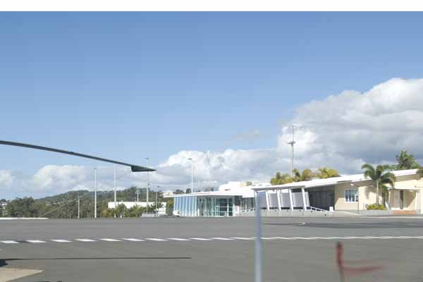
Here is Gladstone Airport. The airports at Hervey Bay and Yulara (Uluru-Kata Tjuta) were essentially the same (and NOT as portrayed in MS Flight Simulator!). One runway, very limited taxiways, one gate, one security station.
Heron Island, Capricorn Group, Great Barrier Reef, Queensland (18th to 20th)
We chose to fly out to Heron Island and come back by catamaran. The journey is about 80km (48 miles or so) offshore. John got to sit in the bubble of the helicopter while Beth had a window seat in the rear. Gladstone is an industrial port, shipping alumina and coal to Japan almost constantly. A fleet of 20 or more ships anchors offshore ready to dock as soon as an earlier vessel is loaded and casts off. This is some of the coal loading complex.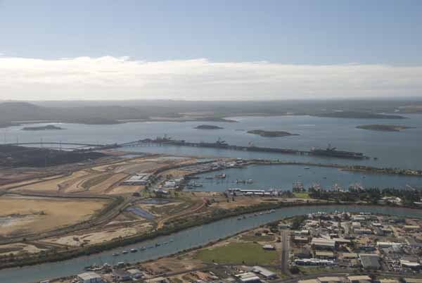
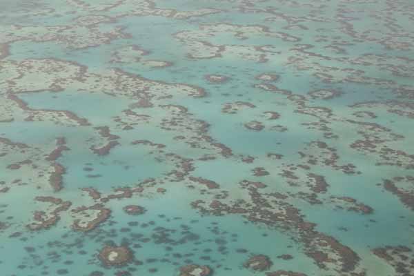
As we approached Heron Island, the pilot reduced altitude to give a better view of reefs, sand flats, and islets. This is a sand flat -- the lighter color is coral sand, broken off and ground down from living coral. The darker parts tend to be living corals, just below the low tide marks. The sand tends to drift by wind and water toward the northwest in this area, so islands tend to form in that corner of a fringing reef. Once the sand piles up above the high water mark, you have a island and eventually plants colonize it by wind, wave and birds.
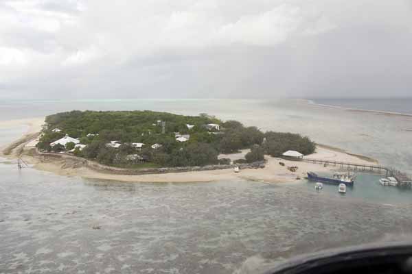
This is Heron Island, a resort, a biological research station, a national park. The reef around Heron Island extends for miles toward the horizon but the island itself is only 42 acres, perhaps half a mile long and quarter of a mile wide. The reef is claimed to be home to 600-900 species of fish and nearly three quarters of the coral species found anywhere on the Great Barrier Reef. We certainly saw fish including sharks, manta rays and sting rays, as well as turtles, whales and dolphins from the beach.
Several world class dive sites are along the reef. Small wonder that many tourists head for the dive shop as soon as they check in. The harbour is at the right and a support vessel was there when we approached. Support is important -- there is no fresh water, no power, no fuel, no food without the support vessels.
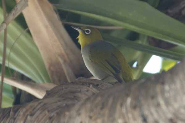
This is a Silver Eye (Zosterops lateralos capricornicus).
At sunset, having a drink on the terrace and waiting for dinner, the word spread rapidly among the guests, "There are whales coming through the channel!" Off the horde raced to the harbor, but in fact the whales were visible from where we were. John didn't catch them broaching although they did from time to time. At this time of year, they are migrating northward from the Antarctic to give birth in warmer. shallower waters.
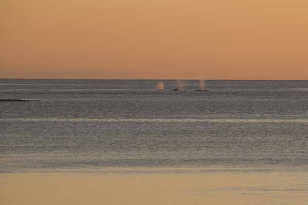
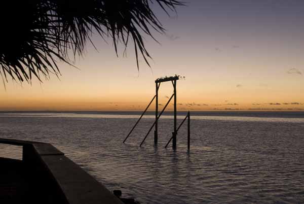
Could we resist taking tropical sunset pictures? Of course not, but we'll give only this one.
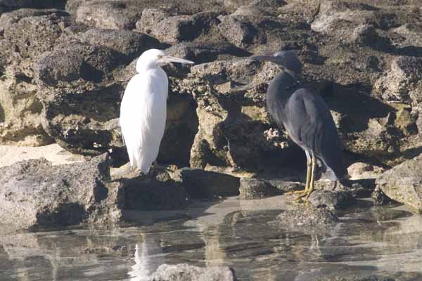
Eastern Reef Egrets (formerly Reef Herons, Egretta sacra, white and gray color morphs) and the namesakes of the island.
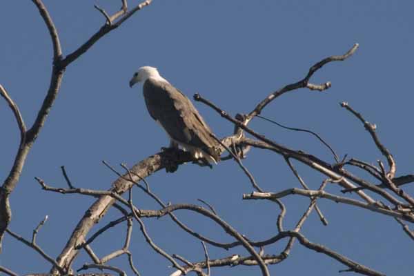
A White Breasted Sea Eagle (Haliaeetus leucogaster) fishes and roosts around Heron Island but nests on nearby Wreck Island.
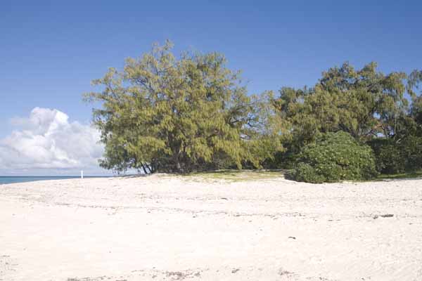
A view of the coral sand beach. The Coastal She Oak (Casuarina equisetifolia) is one of the first trees and has an almost willowy appearance at times. The Pandanus (with its aerial support roots, Panadanus tectorius) is also plentiful. A "forest" of Pisonia (Pisonia grandis) dominates the center of the island and is rare elsewhere.
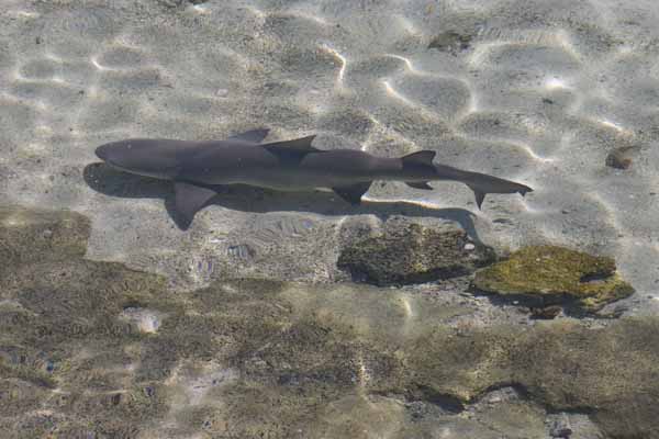
A reef shark in the shallows at low tide. Youthful snorkelers were able to touch it several times.
We "walked on the reef" with a guide at low tide. Actually we waded through the sand flats with the water to mid calf. We walked the entire circumference of the island -- Heron Island may be small but that is a long way around for a big person with small feet in loose sand!
We returned to the mainland on the catamaran. Traveling at 28+ knots it takes a little bit less than three hours to make the trip instead of 30 minutes or so by helicopter. It was a nice day and quite calm, though we can imagine that it lives up to its reputation in stormy weather. We returned to the Gladstone airport to retrieve our suitcases and pick up our second rental car.
Gladstone to Bundaberg to Maryborough, QLD (21st)
The following day, we drove south from Gladstone to Maryborough by way of Bundaberg. Bundaberg is in sugar cane country and one of its chief claims to fame is the Bundaberg rum distillery. We stopped for a tour. The first impression after opening the car door is the overwhelming scent of molasses -- like suddenly arriving in the kingdom of gingerbread men! Bundaberg sells all the rum they make in Australia and New Zealand. They've tried to increase production in the hopes of exporting their products, but the Aussies just consume more. John won a prize on the tour for remembering the name of the yeast used to ferment the molasses to the raw alcohol, Saccharomyces cerevisiae, the same as brewer's or baker's yeast. John's sure they use a specific strain of the yeast to produce the results that they want. Beth had some "samples" after the tour, but John was driving and we hadn't had lunch yet.After the tour, the samples and lunch(!), we continued south to Maryborough, home of Cameron and Amanda Evers (and much earlier the birthplace of P.L. Traversof Mary Poppins fame). We stayed with the Evers family four nights with two all day excursions on our own during that time. The first night, Cammo cooked dinner on the barbecue and we ate outdoors (it's winter remember but very pleasant with a light jacket). We had our first (but not last) kangaroo and crocodile of the trip as well as the first of quite a few "cool ones" that Cammo had been promising John over the years. Little did he think that we'd come to collect!! John's now in Cammo's debt but he'll have to come to Boston to square the account!
The Mary Valley Rattler, Gympie to Imbril QLD and Return (22nd)
Oh, no, not another steam train! (It's the last, we promise!). The Mary Valley Heritage Railway runs south from Gympie to Imbril Queensland, about 40 kilometers and is standard gauge (4' 8.5"). The Rattler runs as a steam train on weekends and Wednesdays and as a railmotor on Tuesdays. We were there on a Sunday. We shared a compartment with three very amusing older Australian women, one of whom had just celebrated her 90th birthday (and the other two were taking her out as a treat). John stood in the open vestibule between the cars on the trip up to Imbril (and hanging out of the window on the way back). At least it wasn't raining as it had been at Puffing Billy.At Imbril, they have a steam hydraulic turntable, so they don't merely run the locomotive around the train and run backwards. Of course, half of the passengers (mostly the male half it must be said) forego lunch to photograph the process.
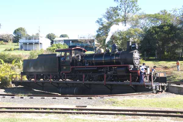
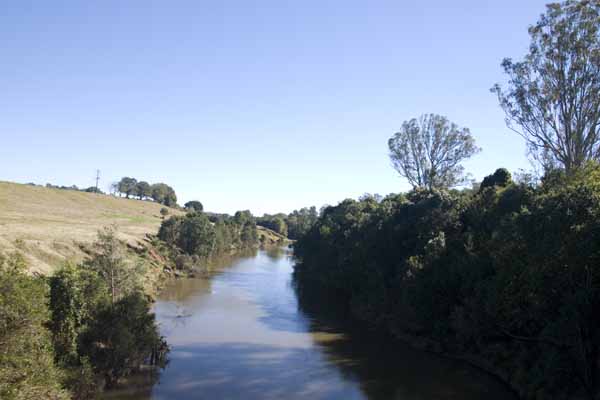
The Line crosses the Mary River several times and this may be the doom of the railway as there are plans to construct a dam (for Brisbane water) that would flood part of the valley, several homes and the line and one of the stations of the railway. There were protesters aplenty at the site as the train stopped in both directions. We also saw lots of protest signs on fences as we drove from Maryborough to Gympie and then back again.
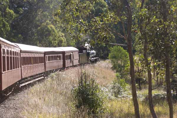
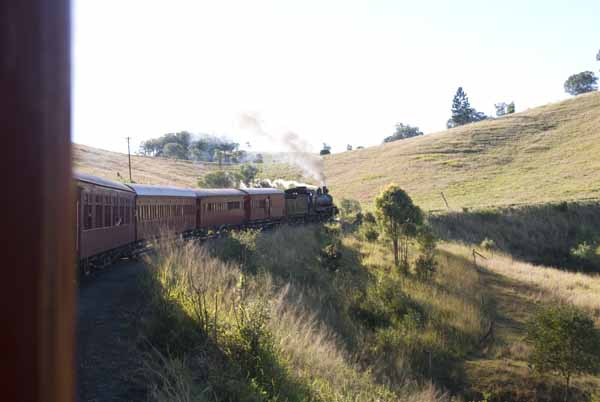
These two pictures are on the return journey and are the obligatory "train on a curve" variety which works so well.
Maryborough QLD (23rd)
On Monday the 23rd, all of us (John and Beth, Cammo and Amanda and their sons Edmund and Alexander) drove to the center of Maryborough and took a walking tour of part of the town. Maryborough was at one time the second greatest port in Australia and was the primary immigration port for Chinese and Pacific Islander laborers heading for the mineral deposits and agricultural areas. As luck would have it, Monday is the one day of the week that the Mary River cruises do not run. During the afternoon, we took advantage of Amanda's offer and did our laundry for the last time on the trip -- just enough changes to get us home with a day or two to spare.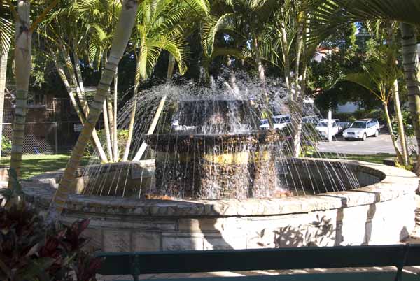
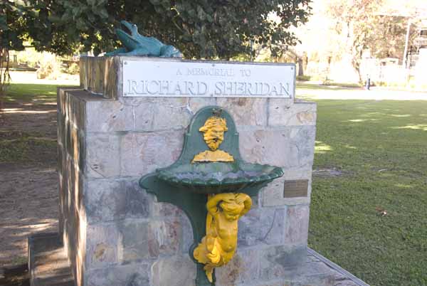
Richard Sheridan was an Irish immigrant who not only founded the Botanic Gardens but was an activist on behalf of Aborigines and Polynesian workers.
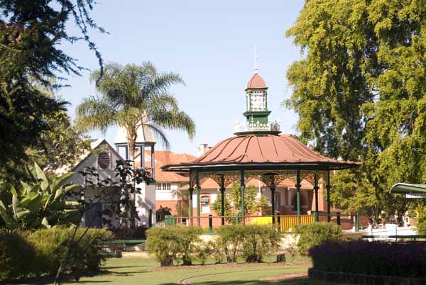
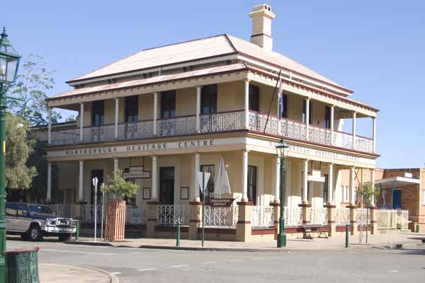
The Queenslander style in buildings public and private features broad verandas (to shade the building) and open rooms (to promote air circulation). This building is now a genealogical resource center but we don't know of any ancestors or cousins who came to Australia.
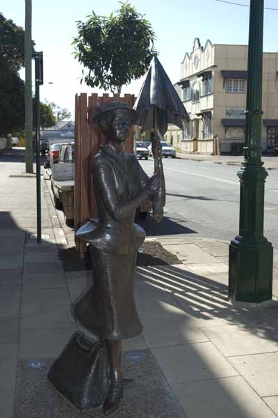
P. L Travers was born in Maryborough and Mary Poppins stands stoically on a Maryborough street corner near Travers' birthplace.
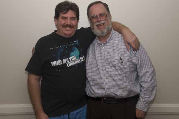
Here are Cammo and John. Members of the GBCC may be wondering what Cammo is REALLY like. John's not telling though he's obviously having a good time. Cammo's "evil twin" Canno was called out of town apparently!
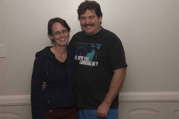
And here is Cammo with Amanda. They showed great hospitality and patience hosting us for four nights!
Fraser Island QLD (24th)
Our final full day in Queensland was spent in a day trip to Fraser Island, the largest sand island in the world. We got there by ferry from Hervey Bay, about an hour's voyage. There are shorter ferry rides, but only for drive yourself four wheel drive vehicles.If Heron Island was small and made of coral sand, Fraser Island is more than 70 miles long, as high as 800 feet altitude and made of silica sand from eroded coastal cliffs and river sediments from further south along the coast. The vegetation is highly variable from swamp and bog to rain forest with forest giants. There are freshwater lakes and streams. At times it's hard to remember that its just sand and vegetation.
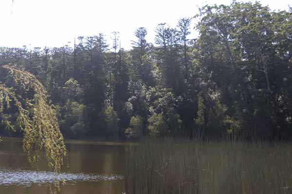
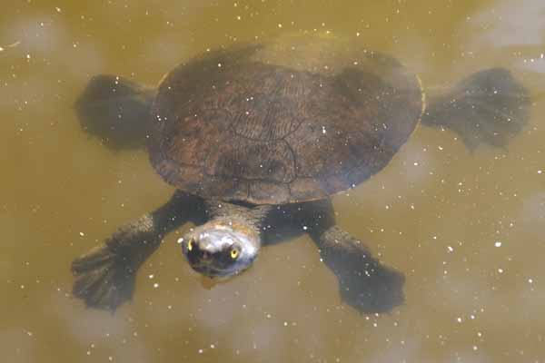
Lake Connor is freshwater but highly acidic. Turtles seem to like it but it is not as photogenic as some of the other lakes (which we did not see).
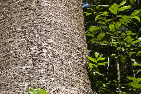
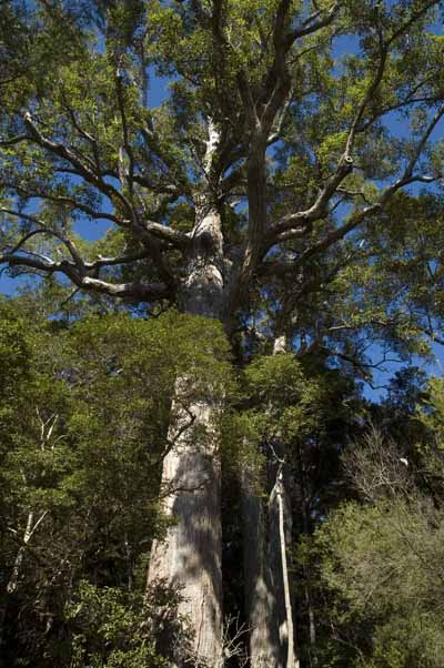
A bark detail in one of the rain forest areas.
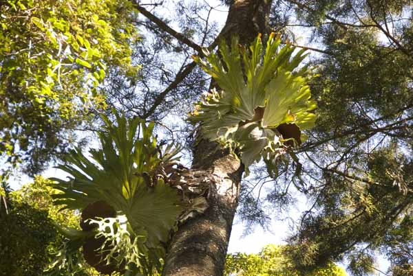
Epiphytic ferns, like these staghorn ferns, grow wherever moisture and sunlight exist in the right amounts and a spore finds an anchoring point. Thus, they grow at differing heights in different environments, here well up the trees near the canopy. Where we ate lunch, the epiphytes were at head height.
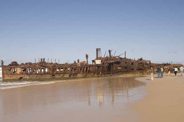
The S.S. Maheno wrecked in 1935. There is very little left now. This is on 75 Mile Beach which is not for swimming -- dangerous rip currents, toxic algae and tiger sharks combine to keep people to wading and surf fishing.
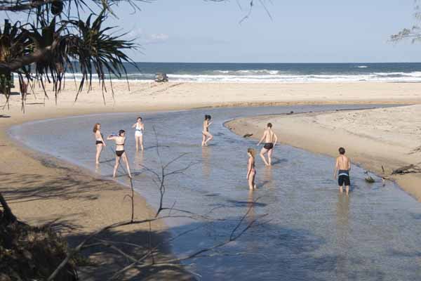
Here is the outlet of Eli Creek to the ocean. Eli Creek is the largest creek on the island.
Fraser Island is a beautiful place but this was an example of the right idea but the wrong method of doing it. The small four-wheel bus (see page 1) gave John the most uncomfortable day he can remember, having to sit all the way in the back because of inadequate legroom in the forward seats. Beth tripped and fell at Cathedral Sands, injuring herself and breaking the camera lens.
It's not the fault of the island. Were we to do it again, we might stay at one of the resorts for two days as we did at Heron Island and do short trips out and back to internal locations. Only four wheel drive vehicles are allowed on the island (it's all sand remember).
John regrets not taking up the offer of $70 aircraft flights off the beach as it would have let us see some parts of the island like Lake Mackenzie that the bus did not approach, adding to the disappointment. So lest anyone think that we plan perfect holiday trips, this is proof that we can get it wrong once in a while.